From Randa via Alp Jatz or the Schatzplatte (Normal route) Weisshornhütte SAC 2932 m
-
- Difficulty
- T2
-
- Ascent
- 4:30 h, 1540 m
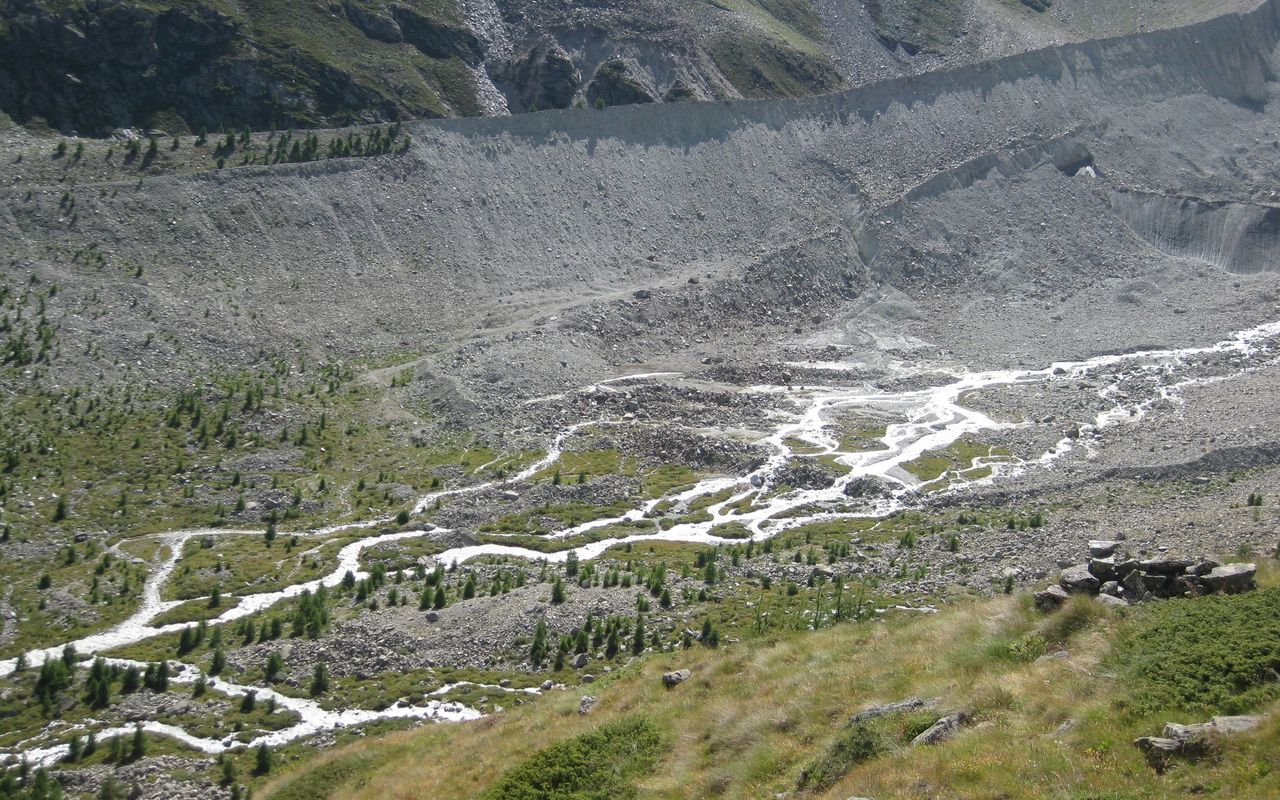
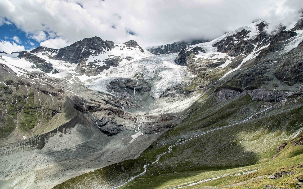
The normal approach to the Weisshorn hut is a typical Valais hut approach: the first 800 meters in altitude through larch forest, the latter 700 over lean alpine meadows and rocky terrain to the hut near the (former) glacier; a total 1500 metres from the Zermatt valley. You won't find any relief from cable cars. The two paths of similar length via Jatz and Schatzplatte offer alternative options for ascent or descent.


Route description
Randa - Rötiboden
From Randa (1409 m, train station) cross under the viaduct and over the bridge (P. 1404). Pass the houses of Eie, cross the stream of the Schusslauizug and ascend via several long zigzags to a first rocky pulpit at 1570 m. Cross the Schusslauibach again and climb southwards through forest up to a cliff edge which is followed NW to P. 1963. Turn south again and reach Rötiboden (1977 m, turn-off to the variant via Schatzplatte). 2 1⁄2 hours.
Rötiboden - Weisshornhütte
Shortly before the huts of Rötiboden, turn right and zigzag up to the tree line, where you'll reach a cross P. (2246) and the wonderfully located Alp Jatz (approx. 2275 m) just above. From Alp Jatz, follow the mountain trail SW past P. 2365 and P. 2469. Cross a rocky gully at 2700 m and gain a shoulder from where you can see the hut. The path leads to the foot of the rocks on which the hut stands, then steeply up to the Weisshornhütte (2933 m), 2 hours from Alp Jatz.
Variant via Schatzplatte
From Rötiboden a gentle ascent leads to Schaluberg (a path also leads directly here from the golf course on the valley floor). Now traverse the long S-facing slope high above the Schalibach (Schalikin) until the path at the Schatzplatte cuts back right (NE) to tackle the last 500 vertical metres to the hut with many hairpin bends.


