From St. Niklaus (Normal route) Topalihütte SAC 2674 m
-
- Difficulty
- T2
-
- Ascent
- 4–5 h, 1600 m
Steep, varied approach (T2), with an alternative descent option (interchangeable).


Route description
St. Niklaus - Blattbach - Topalihütte
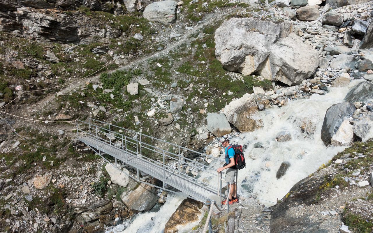
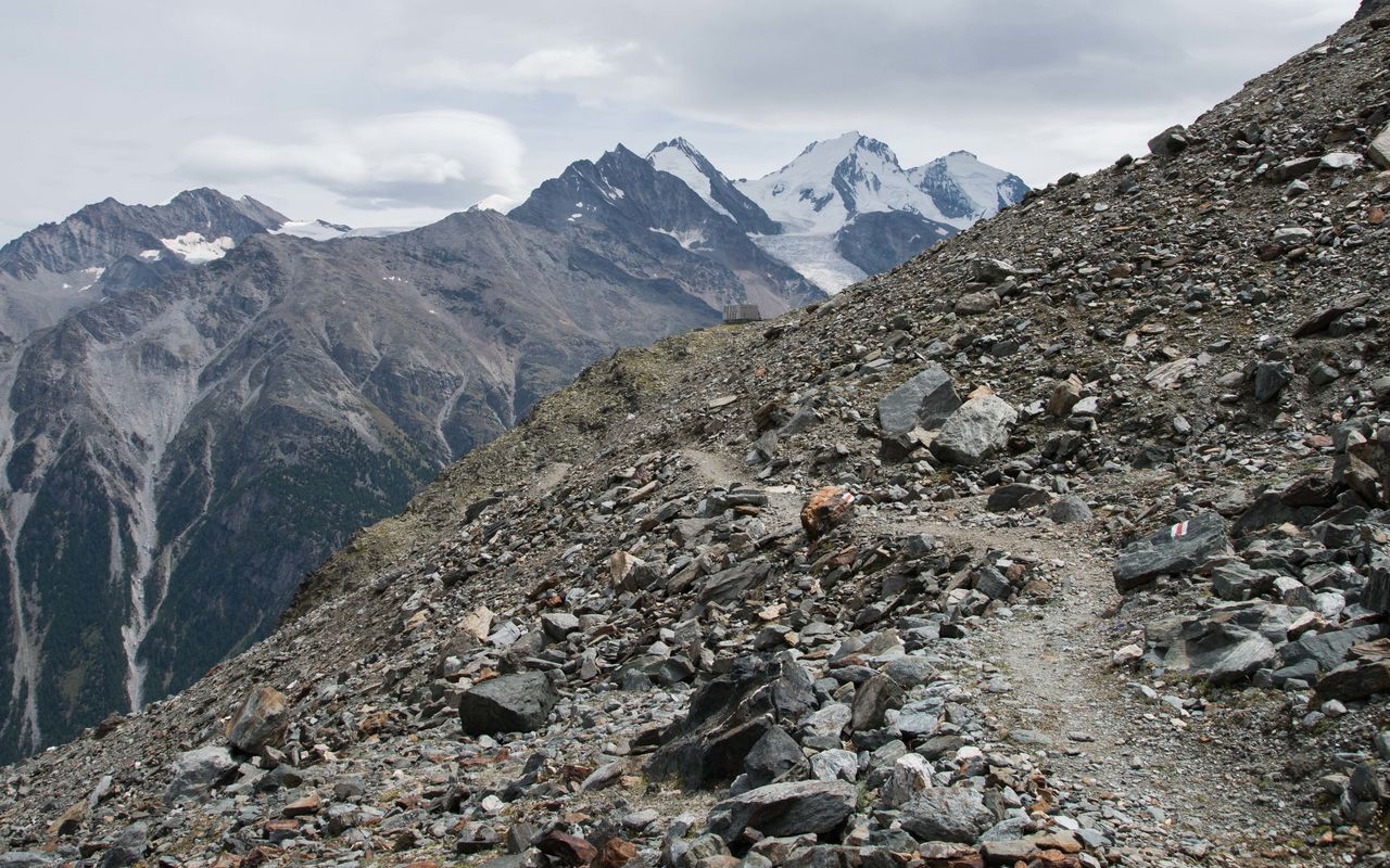
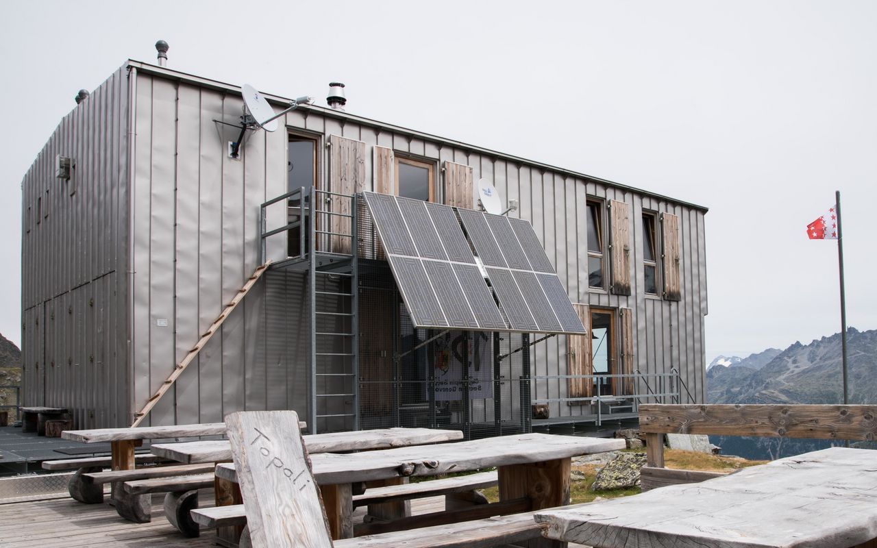
From St. Niklaus (1114 m) take the back road to Schwiedernen (1163 m), 1⁄2 hr. At P. 1163, turn right (SW) and follow a hiking trail through the earth mounds and into the forest. At a junction (P. 13604) continue straight (SW) to climb a steep path over rocky steps to the Blattbach bridge (1696 m). From here a few steep zig-zags lead to a long leftward (SE) climb through the forest of Blattäbi. At approx. 1910 m there is a junction; take the right-hand fork, which leads back towards the Blattbach. For the stream at Unner-bächji, you can either cross direct, or take a left hand branch of the path and cross the stream higher up. A steep slope then leads up to P. 2399 below the Scheidchrommo, 2 1⁄4 hours. The path now leads left across a little plateau, then up and over the southern lateral moraine of the Undere Stelligletsch glacier to a grass band on which the hut stands (2674 m), 3⁄4 hours.
Variant: via Alp Bode
No longer an official route. From P. 1364, take the right hand fork and climb up through steep cliffs to Bodu (Alp Bode, 1905 m). Continue less steep through forest to the meadows and huts of Walkerschmatt (2139 m), follow the broad ridge above, and then traverse a basin to another grassy rib which is followed to P. 2399.
Variant: Via Medji
It is also possible to reach Alp Bode on a path via the cliffs of Medji (same time). This approach is not regularly maintained; choose it at your own risk.


