Alter Tomliweg | Mountain hiking | Swiss Alpine Club SAC
Unterstütze den SAC Jetzt spenden

Alter Tomliweg Tomlishorn 2128 m

  • Difficulty
    T4
  • Ascent
    4 h, 1250 m
  • Descent
    0:30 h, 200 m

Much more than a tourist destination

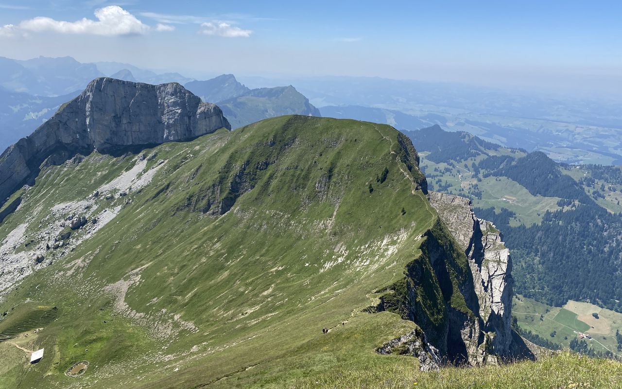
Pilatus is one of the best known and most interesting mountains of the foothills of the Alps. A railway and an aerial cableway go up to the summit on Lake Lucerne, the former from the north (Kriens) and the latter from the south (Alpnachstad). However, despite the infrastructure for a large number of tourists Pilatus has a whole range of lone, secluded, surprising, multifaceted and sometimes challenging routes in store for you. The route presented here – the «Alte Tomliweg» – is a spectacular, but not too difficult route to the highest point of the massif, called Tomlishorn. From there you hike to the summit station of the railway and the cableway, which allows for an exciting ascent and a knee-friendly descent. Around Tomlishorn very often alpine ibex can be observed at close range.

Route description

Eigenthal – Chastelen
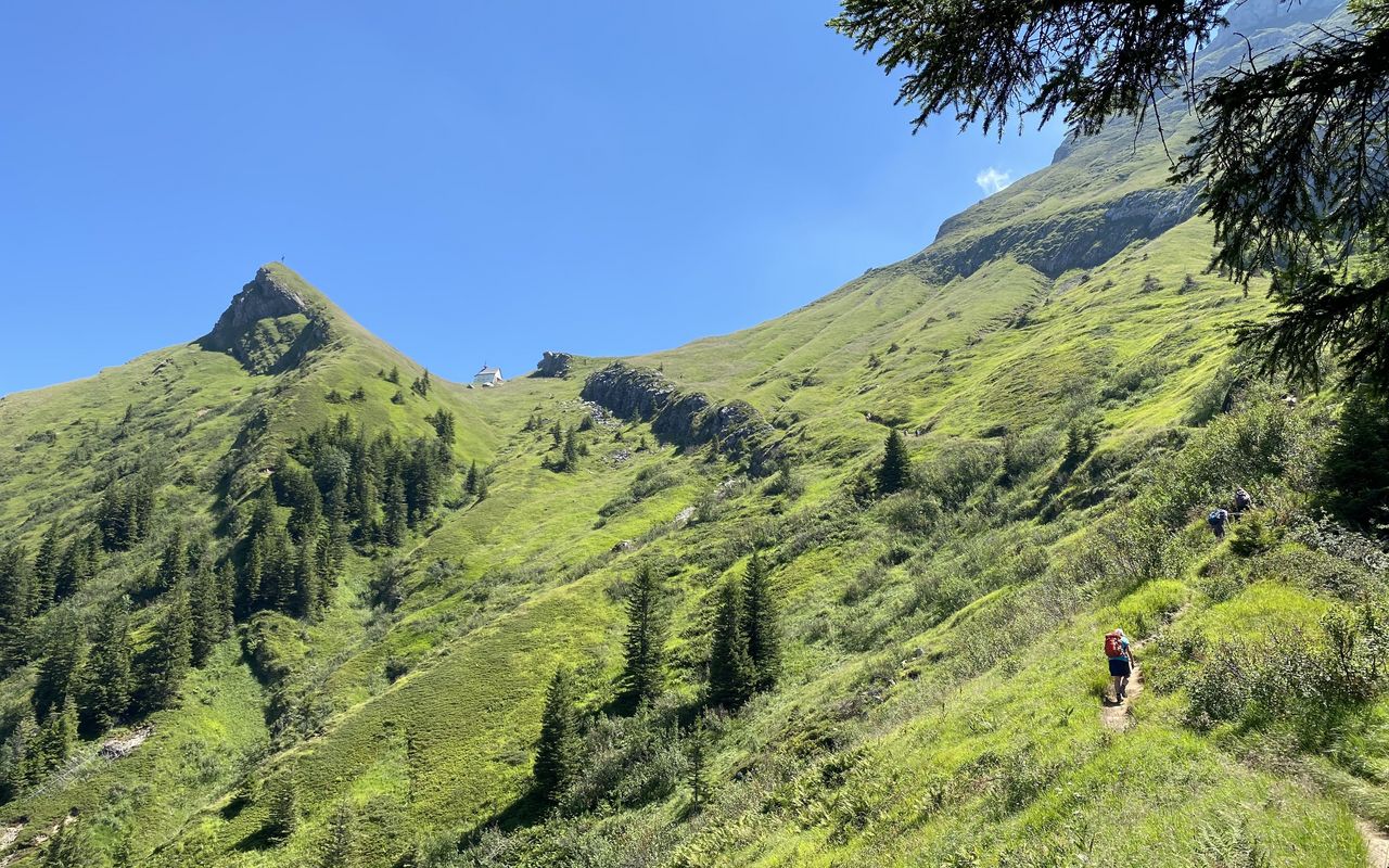
From Eigenthalerhof hike on a marked mountain trail through beautiful forests and moors via Chräigütsch and Höchberg until ca. 1260 m, then branch off right to Ober Lauelen (1330 m). That is where «Heitertannliweg» begins, a trail ascending southeastward above a rocky gorge. It crosses the creek twice and leads to the foot of Chastelen (1668 m), a depression which is full of scree. Now follow the mountain trail towards the chapel at Klimsen until ca. 1780 m.
Chastelen – Tomlishorn
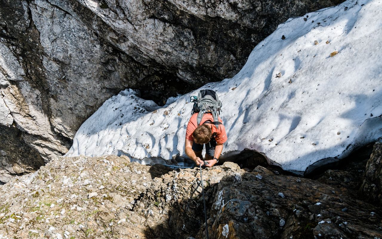
At about 1780 m leave „Heitertannliweg“ and try to detect the faint path which ascends south-westward on the scree field. Through a valley you reach a saddle just south of Chastelendossen (1882 m). Now the trail ascends in the fall line and traverses, sometimes exposed, on ledges and schrofen ribs which seem hardly accessible from below (several fixed ropes) to reach a narrow and steep, but not very exposed gully. Climb directly up the gully to the summit ridge, which you reach slightly west of Tomlishorn. From there follow the marked mountain trail to the summit, coming from the south.
Tomlishorn – Pilatus
From the Tomlishorn summit descend a few metres and without any difficulties follow the marked and large, almost horizontal trail on rocky terrain to the Pilatus summit station.

Additional information

Departure point

Eigenthal, Eigenthalerhof (1017 m)

End point

Pilatus Kulm, Bergstation (2118 m)

Rack railway from Alpnachstad or cable car from Kriens: www.pilatus.ch

Difficulty / Material

Between Chastelen and Tomlishorn there are faint paths in the scree, followed by an exposed traverse on a one meter wide ledge and at the end some scrambling passages (fixed ropes). As the route lies mainly in the shadow, it is often wet (thus precarious), and in the spring you encounter treacherous fields of old snow.

Author

Marco Volken

Marco Volken is a freelance photographer and alpine journalist. He has co-authored numerous books on the Alpine region, including illustrated books, non-fiction books, hut guides, hiking and club guides, ski touring and climbing guidebooks.

Our recommendations

Gipfelziele Zentralschweiz Vierwaldstättersee

Berg- und Alpinwandern

Gipfelziele Zentralschweiz Vierwaldstättersee

Price CHF 54.00
Member price CHF 45.00
SAC-Crocs

Equipment

SAC-Crocs

Price CHF 59.00
Member price CHF 49.00
Tourenportal/App-Abo Jahreszahlung

Subscription to the SAC Route Portal

Tourenportal/App-Abo Jahreszahlung

Price CHF 49.00
SAC-Hütten-Monopoly

At home

SAC-Hütten-Monopoly

Price CHF 69.90
Member price CHF 60.00
SAC-Taschenmesser

Equipment

SAC-Taschenmesser

Price CHF 57.00
Member price CHF 51.00
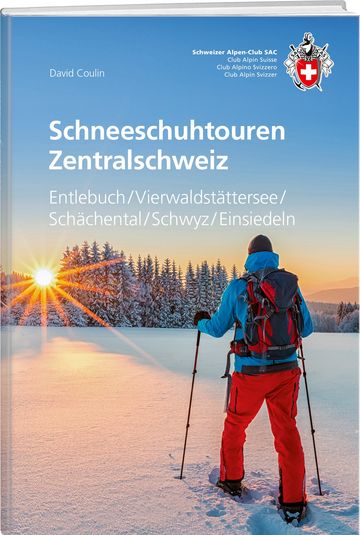
Schneeschuhtouren Zentralschweiz

Schneeschuhtouren

Schneeschuhtouren Zentralschweiz

Price CHF 59.00
Member price CHF 49.00
Ausbildung Bergwandern / Alpinwandern

Ausbildung

Ausbildung Bergwandern / Alpinwandern

Price CHF 59.00
Member price CHF 49.00
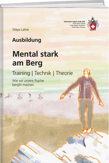
Mental stark am Berg

Ausbildung

Mental stark am Berg

Price CHF 49.00
Member price CHF 39.00
feedback