From Engstligenalp via Chindbettipass | Mountain hiking | Swiss Alpine Club SAC
Unterstütze den SAC Jetzt spenden

From Engstligenalp via Chindbettipass (Normal route) Tierhöri / Tierhörnli 2894 m

  • Difficulty
    T5-
  • Ascent
    2:45 h, 1100 m
  • Descent
    2:15 h, 1100 m

Short tour to an original summit

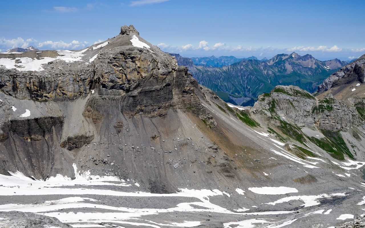
The rocky head sitting on the grassy cone-shaped mountain is an inviting view, even from afar. Tierhöri can be reached within only a few hours. The ascent is mainly easy, but on the summit structure the hike turns into a truly alpine endeavour. You need the help of your hands, and being sure-footed, unafraid of heights and experienced in scrambling is required. Chindbettihore is a neighbouring summit which can be included in this tour.
Route description

Engstligenalp – Chindbettipass
Hike on a marked mountain hiking trail from the summit station of the aerial cableway to the chalet at 1963 m on the eastern border of Engstligenalp. Follow the signposts Chindbettipass from the beginning, even though the trail makes a little detour. Engstligenalp is an alpine alluvial plain protected by the law and listed as a wetland of national importance. Therefore please do not walk on unmarked paths. The entire mountain hiking trail is marked from the chalet to Chindbettipass.
Chindbettipass – Tierhöri – Chindbettipass
On Chindbettipass leave the trail and ascend southward on the ridge towards Tierhöri. At first the area with boulders is somewhat labyrinthine, but further on you will find faint paths and some cairns. At ca. 2780 m, where the rocks raise vertically, there is a steep scree slope leading up between the rocks, after that it is less steep until right before the summit head. On a faint path go round the rocks to the right. From the west you can now scramble up a couloir between the two rocky pinnacles and then to the left up to the summit (I). Early or late in the year this couloir may be filled with snow or ice. In this case continue on a faint path round the summit head to the southern side of the mountain. From there, also in gullies and couloirs, climb up to the summit. On this side the difficulty is slightly higher (II), in exchange, the passage is warm and sunny. Descend back to Chindbettipass on the same route.
Chindbettipass – Ärtelegrat – Engstligenalp
Instead of directly descending from Chindbettipass to Engstligenalp, it is worthwile to hike westward round Chindbettihorn on the marked mountain hiking trail and then on Entschligegrat with its splendid panorama to Tschingellochtighore. Go left, pass below the bizarre towers of Tschingellochtighore and descend on Ärtelegrat to Engstligenalp.
Alternative descent Entschligegrat – Sunnbüel
Lovely alternative descent: from Entschligegrat between Chindbettihore and Tschingellochtighore descend east on a marked mountain hiking trail to Tälli and on to Waldiswang. Continue east below the impressive Schwarzgrätli to P. 2381, then descend to Berghotel Schwarenbach and on a wide walking trail to Sunnbüel (aerial cableway and bus to Kandersteg station). Entschligegrat–Sunnbüel ca. 2 h, T3–.

Additional information

Departure and arrival point

Engstligenalp (1962 m)

Mountain station of the cable car Unter dem Birg – Engstligenalp. Further information at: www.engstligenalp.ch

Difficulty / Material

It is mainly an easy hike. Chindbettipass has some short, steeper scree slopes, but apart from that there are no difficulties as far as the summit structure. It is only these rocks that require a few metres of climbing (max. II). The summit is exposed.

Waypoints

Berghotel Schwarenbach (2060 m)

Possibility to stop for a bite to eat.

Sunnbüel, Bergstation (1934 m)

Endpoint of the alternative descent: cableway station and Restaurant.

Chindbettipass (2623 m)

Col between Tierhöri and Chindbettihorn.

Schwarzgrätli (2381 m)

On the variant this is the passage to Schwarenbach

Neighbor summit

Chindbettihore / Chindbettihorn (2691 m)

Characteristic rocky ridge, which can be reached within about 15 min. from Chindbettipass. It is very rewarding in combination with Tierhöri. From the col ascend to the ridge on the eastern side through grassy slopes. Now hike north, up a short, slightly exposed passage, then within minutes on grass and slabs to the summit. T4.

Route last update

11/2017

Authors

Fredy Joss

Sabine und Fredy Joss

Alpine hiking, climbing and other mountain sports Sabine and Fredy Joss's passion. They have been writing and photographing for the SAC publishing house and the club magazine Die Alpen for many years. Sabine is also a biologist and tour guide; Fredy a proofreader and editor for various magazines.

Sabine Joss

Our recommendations

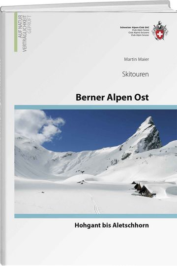
Skitouren Berner Alpen Ost

Skitouren

Skitouren Berner Alpen Ost

Price CHF 44.00
Member price CHF 34.00
SAC-Crocs

Equipment

SAC-Crocs

Price CHF 59.00
Member price CHF 49.00
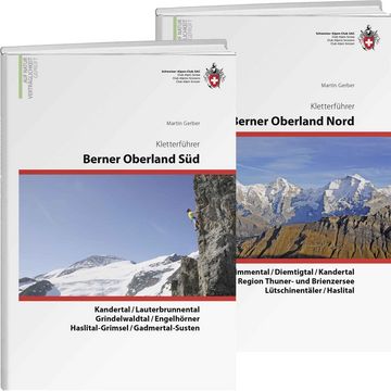
Klettern Kombipaket Berner Oberland

Klettern

Klettern Kombipaket Berner Oberland

Price CHF 98.00
Member price CHF 79.00
Tourenportal/App-Abo Jahreszahlung

Subscription to the SAC Route Portal

Tourenportal/App-Abo Jahreszahlung

Price CHF 49.00
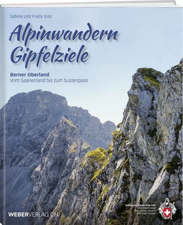
Gipfelziele Berner Oberland Grossformat

Berg- und Alpinwandern

Gipfelziele Berner Oberland Grossformat

Price CHF 54.00
Member price CHF 45.00
SAC-Hütten-Monopoly

At home

SAC-Hütten-Monopoly

Price CHF 69.90
Member price CHF 60.00
SAC-Taschenmesser

Equipment

SAC-Taschenmesser

Price CHF 57.00
Member price CHF 51.00
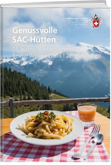
Genussvolle SAC-Hütten

Hütten

New

Genussvolle SAC-Hütten

Price CHF 49.00
Member price CHF 42.00
feedback