From Scharnachtal, descent to Mülenen (Normal route) Standflue 1978 m
-
- Difficulty
- F
-
- Ascent
- 3:30–4 h, 1140 m
-
- Descent
- 1300 m
-
- Exposure
- N, NW
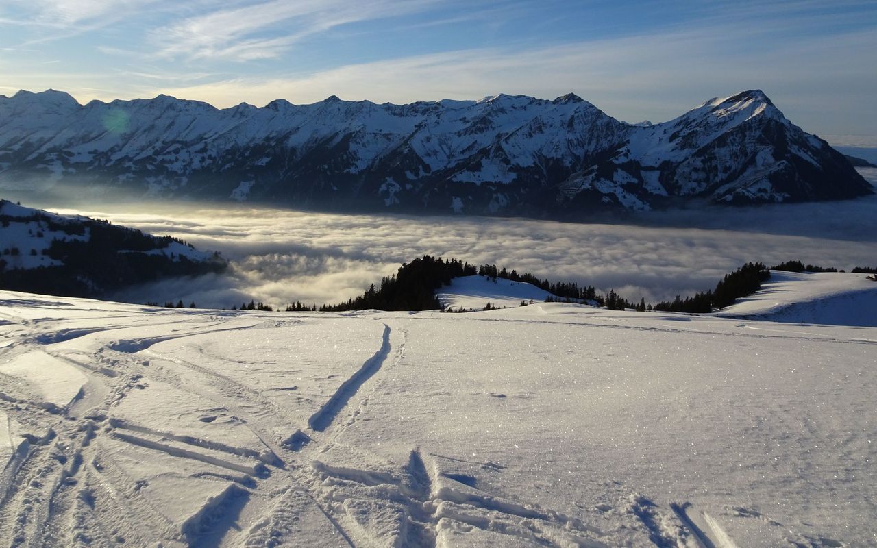
This is a very rewarding, multifaceted tour: open pastures above the Kandertal valley, long passages on a road through the forest and a wide summit slope are the ingredients. The descent to Mülenen is especially rewarding, if there is sufficient snow to the Kandertal valley.



Route description
From Scharnachtal
From the Scharnachtal, Schulhaus (852 m) bus stop take the road branching off north-eastward to Huben (893 m) and on to Hanselen (986 m). From here on you need enough snow to reach Richebachtobel via Flüelimatte (1053 m) on gravel roads and in pastures. Follow a good trail into the ravine. Cross the creek on a narrow pedestrian bridge and on the other side exit the ravine to ascend directly to the hairpin bend of the road at P. 1115. Ascend eastward in pastures and on ski runs past the summit station of the Faltschen ski lift to reach the road, which, only slightly uphill, leads through Bawald to Waldhaus (1582 m). The bends can be cut short by following the marked summer hiking trail. From Waldhaus follow the forest road slightly downhill via P. 1610, then traverse rather flat south and south-westward to reach the Engel alp (1760 m). There ascend south-westward to the ridge and follow it in a wide arc to the left to reach the highest point.
Descent to Mülenen
If the conditions are safe, you can ski down to the Engel alp from the summit. Then get back to the end of the ski-lift, following the forest roads. From there descend on the ski runs and then north of Steinweide in wide gentle pastures along Suldgrabe to reach the Mülenen railway station. Do not forget to push the button to stop the train (stop on request)!
