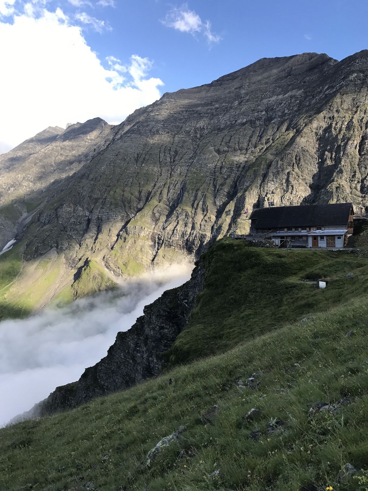
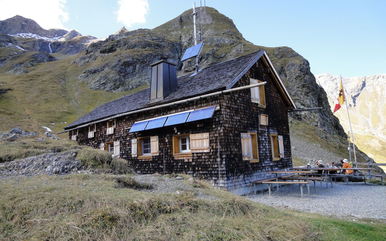
From the Gigerwald dam via Alp Sardona (Normal route) Sardonahütte SAC 2158 m
-
- Difficulty
- T2
-
- Ascent
- 3:45 h, 880 m
Easiest appraoch through the charming Calfeisental. About an hour longer when using public transport. You can also start in Vättis, which is another hour and a half longer. What makes this variant attractive is the very impressive dam wall of the Gigerwald reservoir. The route is inaccessible in winter (banned due to wildlife protection). These is also a high risk of avalanches.


Route description
Gigerwald dam - St. Martin
Follow the road along the southern bank of the reservoir to St. Martin. You can also drive here.
St. Martin - Alp Sardona - Sardonahütte
From St. Martin (1340 m) follow the mountain road to Alp Sardona (1742 m). Cross the Tamina and reach the hut on the mountain path.
Variant from Vättis
You start in Vättis and climb along the hiking trail, first on the southern slope, then over the Isig Brugg to the north side. There, under the impressive Ringel massif and with the dam wall in front of you, you reach the Gigerwald dam bus stop at the southern end of the dam wall.
Variant: St. Martin - Alp Sardona south of the Tamina
An alternative trail leads from St. Martin along the south side of the Tamina and joins the main route at Alp Sardona (T3, ¼ hours longer, in early summer there is often avalanche snow in the watercourses!).
Additional information
- Time
-
Just under an hour shorter by car or alpine taxi (possible up to to St. Martin).
One and a half hours longer if you start in Vättis.
- Waypoints
-
St. Martin (SG) (1340 m)
Staring point. Controlled one way traffic (From :00 to :20 UP!; from :30 to :50 DOWN!). See www.sanktmartin.online/anreise
-
-
Vättis (943 m)
Starting point of the variant
-


