From Arolla via Haut Glacier d'Arolla (Normal route) Refuge des Bouquetins CAS 2980 m
-
- Difficulty
- T4
-
- Ascent
- 4:30 h, 1150 m
-
- Descent
- 1150 m
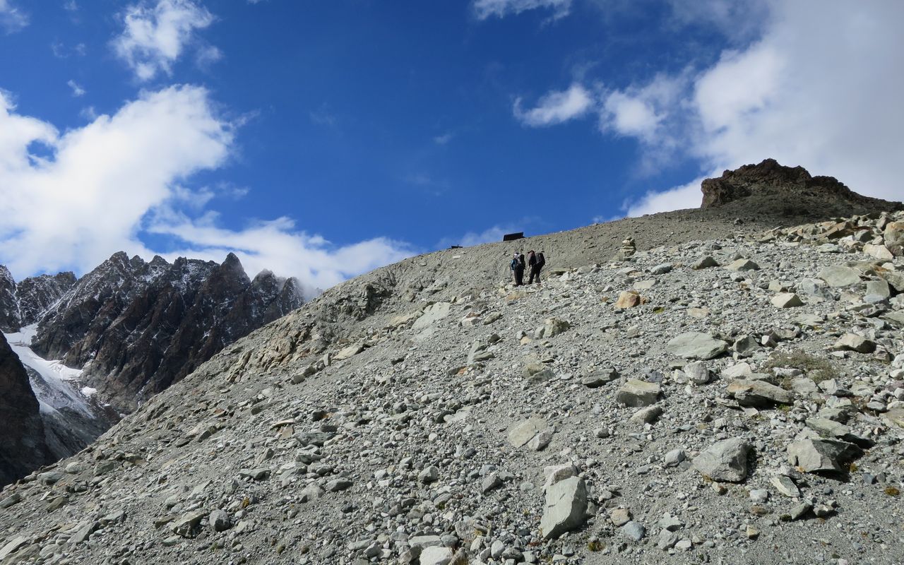
Normal approach to the Refuge des Bouquetins, through the impressive rear valley of Arolla. The route crosses the Haut Glacier d’Arolla, where crampons may be necessary depending on the conditions. And older variant between the Bas- and Haut Glacier d'Arolla is officially closed and no longer maintained! Detour to Plans de Bertol (official mountain path), the approach is extended by about half an hour.


Route description
Arolla - Plans de Bertol - Haut Glacier d'Arolla
From Arolla (2006 m) follow the mountain road up valley to the bridge over La Borgne d’Arolla (P. 2089), 3⁄4 hours.
Cross the bridge and follow the footpath SE to the foot of the rocks below P. 2628, then traverse to P. 2386. Cut back northwards, then climb steeply NE up to Plan Bertol; at P. 2664 turn right and descend southwards to P. 2506.
Shortcut: You do not have to go all the way to P. 2664: It is possible to leave the marked path at approx. 2550 m, climb east through a rocky valley and rejoin the path ca. 2600 m.
Variant: old hut approach P. 2386 - P. 2506
This old approach is no longer maintained and is not recommended for various reasons, including the objective dangers posed by Mont Collon's N-face.
Haut Glacier d'Arolla - Refuge des Bouquetins
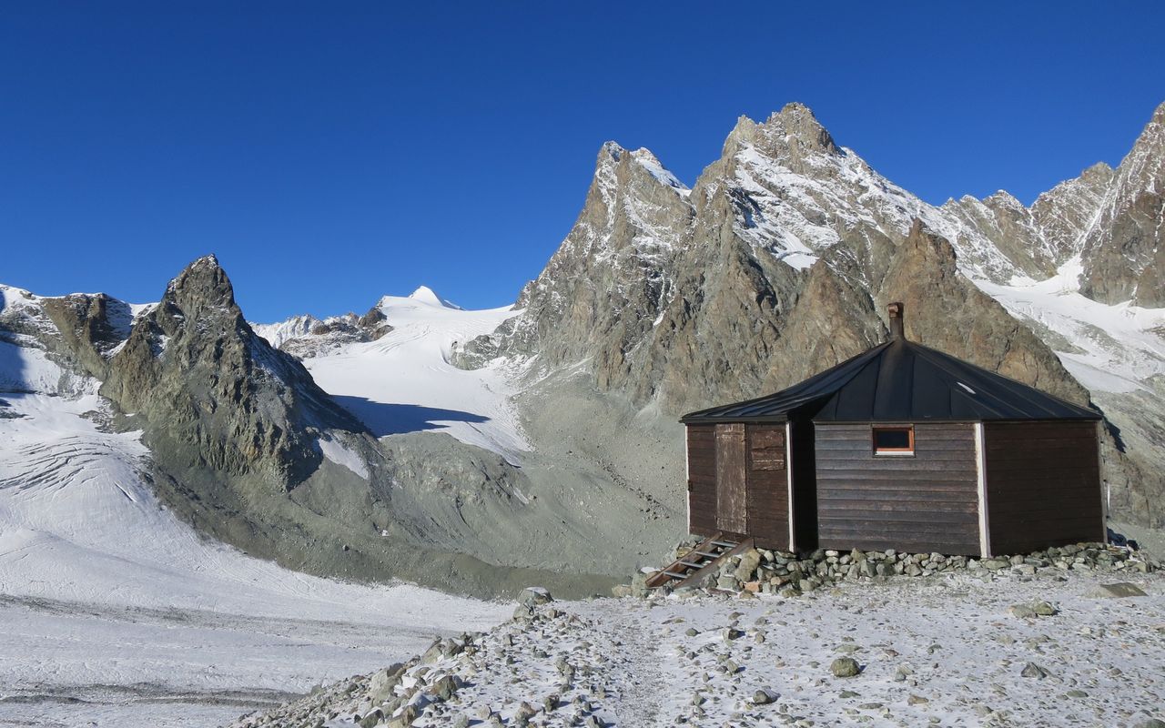
Follow the curve of the valley along the glacier forefield until you reach the glacier tongue, then move towards the east bank of the Haut Glacier d’Arolla, beneath a rock bastion (P. 3149 - 3088). The hut is located at the southwestern foot of this (P. 2979). To reach it, follow the glacier's edge round past it until, ca. 2920 m you come to a path that leads back left (NW) and comfortably up to the Refuge des Bouquetins (2979 m), 1½ hours.


