From the Schönbielhütte via the Northeast Ridge (Normal route) Pointe de Zinal 3790 m
-
- Difficulty
- PD, 2a
-
- Ascent
- 4–5 h, 1095 m
-
- Descent
- 1095 m
The northern side (Mountet) of Col Durand has become more dangerous in recent years, which is why we only describe the approach from Schönbiel here. From Schönbiel you climb to the Col Durand and then follow the northeast ridge to the summit.





Route description
Schönbielhütte - Hohwänggletscher
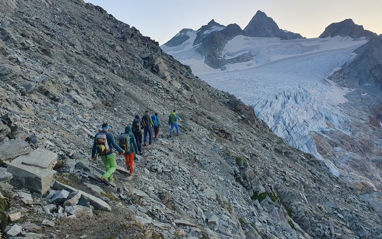
From the Schönbielhütte (2694 m) follow the higher of two paths west. After a short distance take the right-hand branch which leads you up, first north, then north east through the screes of the Kumme valley to the Schönbiellicke, (3210 m) - north of Oberer Blausatz. On the eastern flank of the Schönbielhorn, the path leads horizontally along ledges to the Hohwäng glacier, which you join after P. 3179.
Hohwänggletscher - Pointe de Zinal
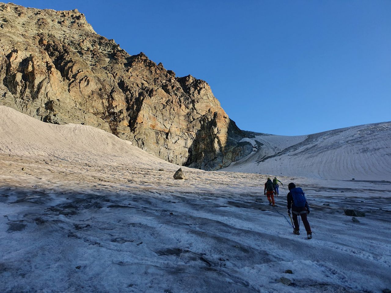
Now climb along the western border of the Hohwänggletscher, passing close by the rock spur at 3318 m which descends from the south summit of the Pointe de Zinal, and cross the ensuing larger glacier plateau (heading north). Continue, gently uphill to reach the Col Durand, 2½ hours.
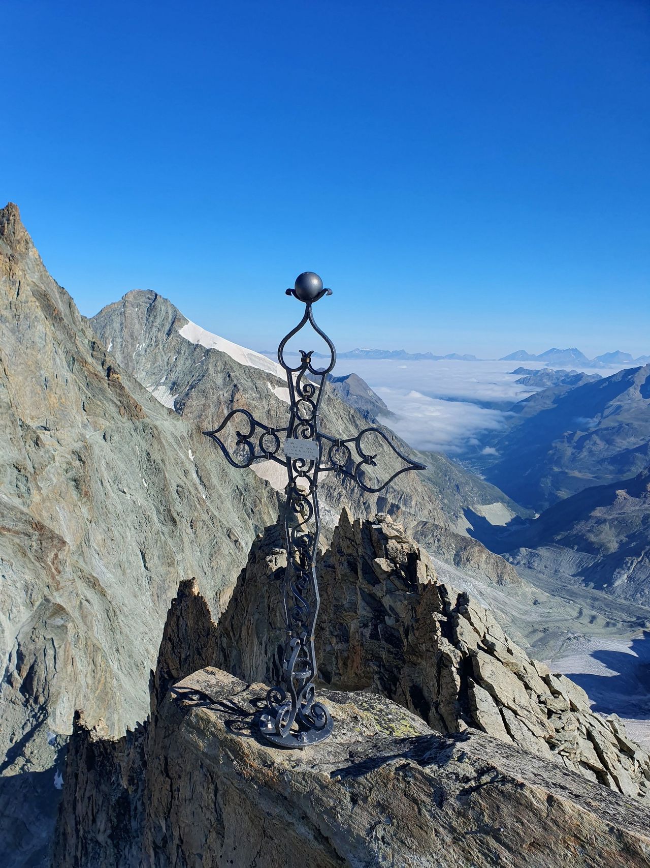
From Col Durand (3436 m) climb first west to gain the NE ridge just right of P 3580. Follow the firn ridge (normally on its SE side) to the foot of the summit tower. Climb this easily from the east to the main summit of Pointe de Zinal (3789 m), 1½ hrs.
Descent
Descent. Follow the route of ascent. Alternatively descend to the south summit, leaving the ridge at P. 3357 to the W or E (in good firn conditions), or continue over the Schönbielhorn.
Additional information
- Departure point
-
-
- History
-
Georges Béraneck jun. and Emile Javelle with mountain guide Jean Martin and one porter, 1871.

