From Fisetengrat via Gemsfairenstock Planurahütte SAC 2947 m
-
- Difficulty
- PD
-
- Ascent
- 5 h, 1350 m
-
- Descent
- 350 m
-
- Exposure
- NE, E
With the Klausenpassstrasse closed, the most popular, least difficult approach. Difficult orientation on the Claridenfirn (glacier) in fog.



Route description
Fisetengrat cable car station – Gemsfairenstock
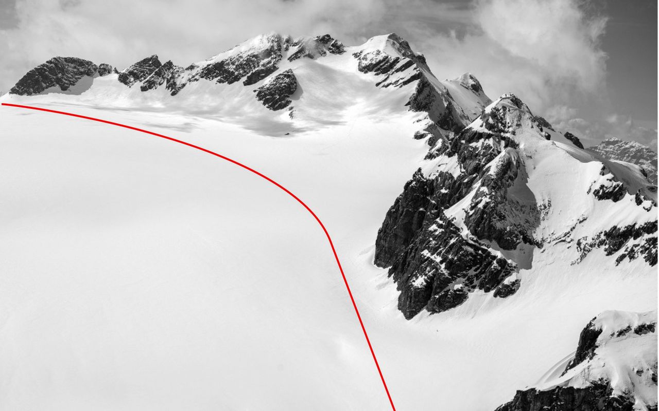
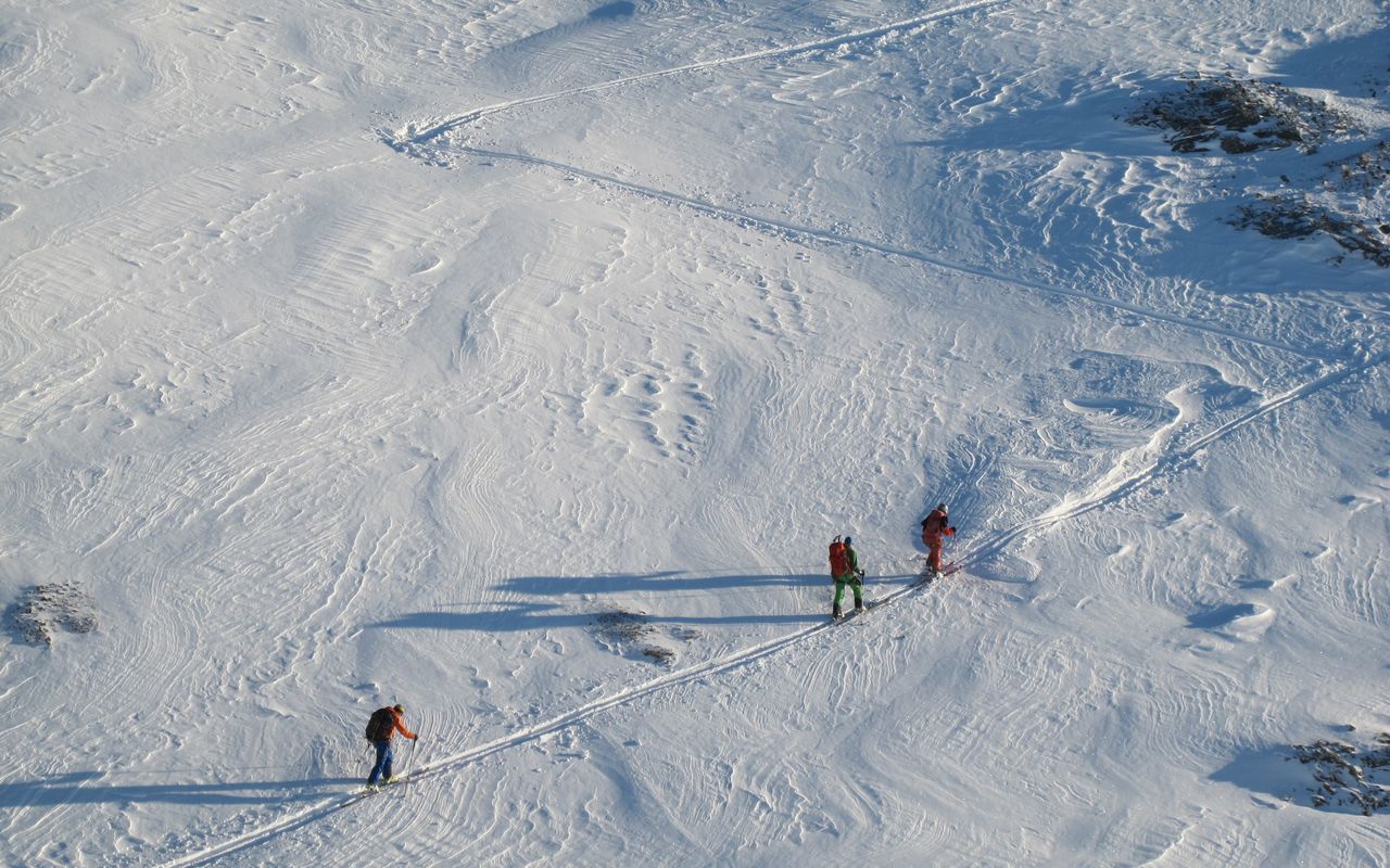
From the top station on the Fisetengrat (approx. 2000 m) head southwest along the ridge past Rundloch (2287 m) and into the hollow of Ober Sulzbalm. Roughly follow the line of the summer path over a short steep step, then leave it and head more directly up to the Lang Firn (glacier). Once on the glacier, traverse southwest to the Gemsfairenjoch (2846 m) or "take in" the Gemsfairengipfel (2971 m) on your way.
Gemsfairenstock – Claridenfirn
From the Gemsfairenstock to the Gemsfairenjoch, then descend the short steep (35 °) south slope down to the Claridenfirn (approx. 2670 m).
Variante: Claridenhütte SAC – Claridenfirn
If starting at the Claridenhütte: drop down SW to P. 2452, then climb gradually west to join the glacier below the Gemsfairenjoch.
Claridenfirn – Planurahütte SAC
Head southwest over the flat glacier towards the Claridenhorn and climb it (+1.5 hrs) or otherwise gradually bear south towards to the Clariden- / Hüfipass (2942 m). Follow the watershed ridge from the pass to the impressive wind scoop which surrounds the hut rocks like a moat. Find the easiest way past, usually left (E), and gain your reward: tea and cake? or a cold beer – at the hut.
Additional information
- Departure and arrival point
-
Fisetengrat, summit station (2033 m)
Information about the cable car Urnerboden–Fisetengrat: urnerboden.ch/tarife/
-
- Waypoints
-
Departure point of the variant. Claridenhütte - Planurahütte ca. 2 hours, 500 m ascent.
-
- Route number
-
62a

