From Binntalhütte via the South Flank (Normal route) Ofenhorn 3236 m
-
- Difficulty
- F, I
-
- Ascent
- 2:30–3 h, 1020 m
-
- Descent
- 1020 m
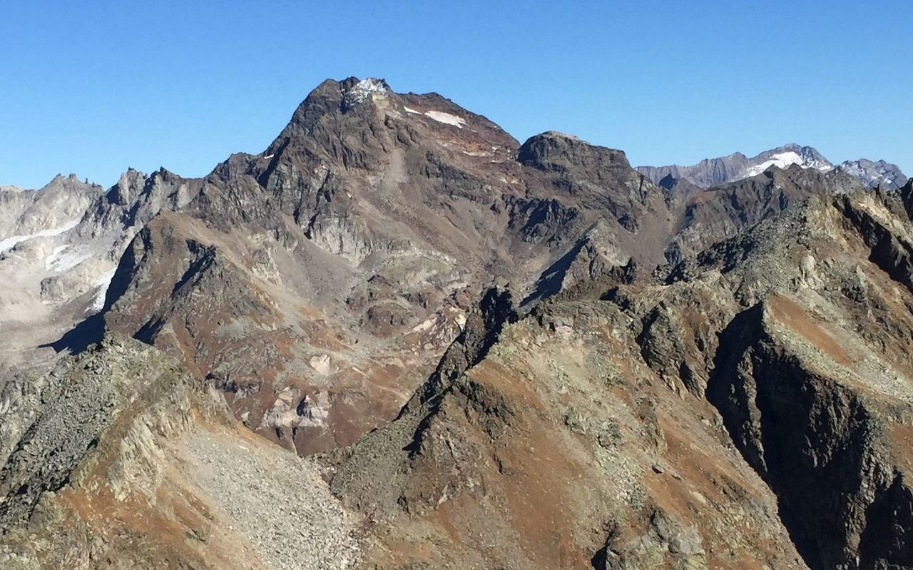
From the hut you must first climb to the Eggerscharte (pass). From there, descend to the Ghiacciaio d'Arbola (glacier) and reach the summit via its southern firn slopes. Due to the melting of this glacier here, rockfall is not uncommon. In descent, this route offers the advantage of glissading sections under favourable conditions.
Route description
Binntalhütte - Eggerscharte
From the Binntal hut (2265 m) one climbs on tracks over the grass slope to the left of a debris field into the stony Eggerofe valley. Here the path is marked by cairns. A steep scree slope leads into the Eggerscharte (2856 m), 1½ Std.
Eggerscharte - Ofenhorn
From this ridge, descend a little then climb northeastwards to find the meager remains of the Ghiacciaio d'Arbola (glacier). Continue onto steeper firn and scree (attention: rockfall zone). Near the top of the slope keep right to join a saddle, before climbing the ESE ridge to the top of the Ofenhorn (Italian name Punta d'Arbola, 3236 m), 1 hour.
Descent
Follow the route of ascent.
Additional information
- Departure point
-
-
- Waypoints
-
-
- History
-
Gottlieb Studer and Theodor Walpen with mountain guides Augustin Tenisch and Johann Josef Welschen, 8. August 1864.

