From Zervreila via Läntatal (Normal route) Länta-Hütte SAC 2090 m
-
- Difficulty
- T2
-
- Ascent
- 2:45 h, 430 m
On foot or by bike to the Läntahütte
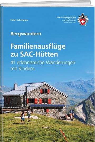
Although technically easy, the approach to the Länta hut via the Lampertsch Alp is a scenic treat: leading first high above the Zervreila reservoir with the bold Zervreilahorn as a backdrop, then across an arm of the lake to the Lampertsch Alp, then down the final narrow Vals Rhine to reach the cozy hut, which is hiding under a large boulder.


Route description
Zervreilarsee dam - Läntahütte
The road continues from the dam (1864 m) and up past a small chapel (1984 m, small parking area - driving ban from here on), then down once more to cross the Canalbrücke (bridge) to the reach the western end of the reservoir. Cross the stream at Ochsastafel (1883 m) to join a mountain path on the northern bank of the Valser Rhine which leads to Lampertsch Alp (1991 m). Follow the gradually narrowing valley round to the south and the cosy Läntahütte at P. 2089.
Variant: Vals - Zervreila reservoir on foot
From Vals it is also posible to approach the dam on foot via a coulpe of differnt options of foot path and mountain track.


