From Bordierhütte | Mountain hiking | Swiss Alpine Club SAC
Unterstütze den SAC Jetzt spenden

From Bordierhütte (Normal route) Gross Bigerhorn 3625 m

  • Difficulty
    T3+
  • Ascent
    2:30 h, 740 m
  • Descent
    4 h, 2050 m

One of the highest summit reachable by hikers

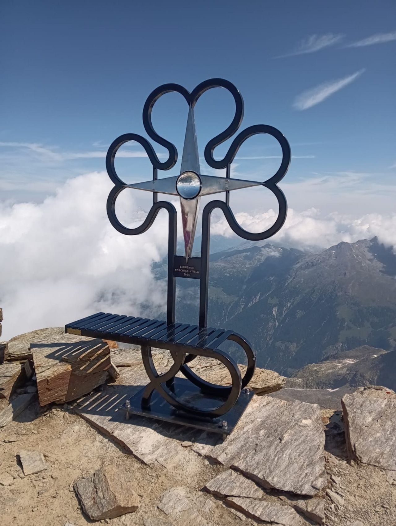
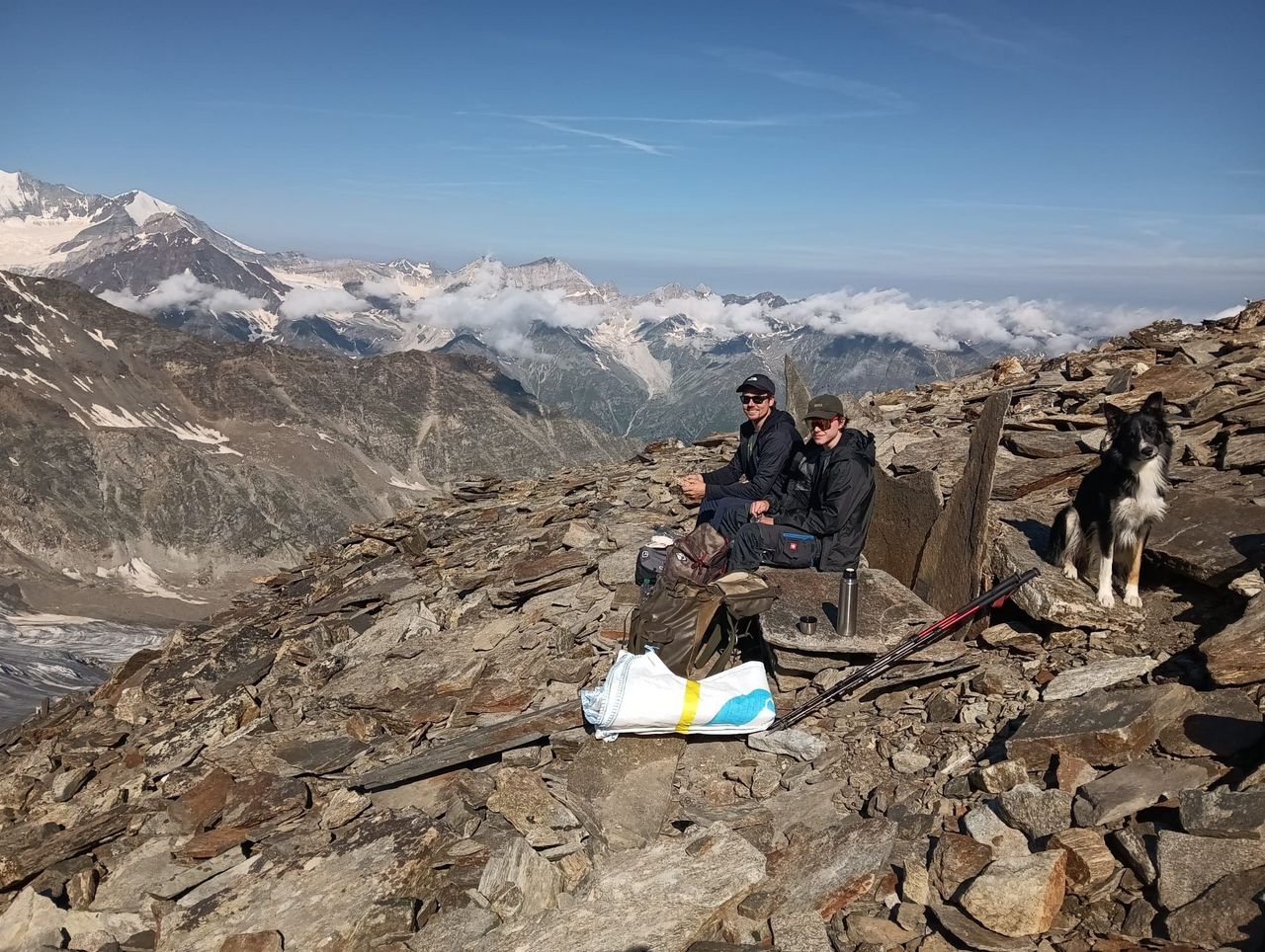
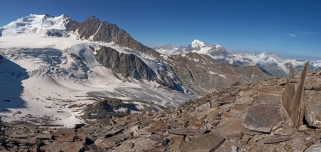
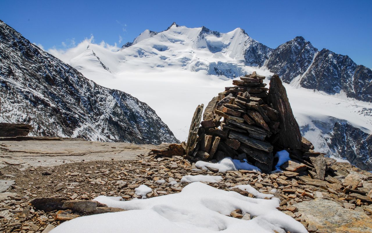
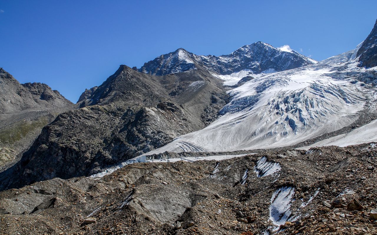
As this mountain is fairly high (3625 m), it is a long way up to the summit. Fit hikers may be able to reach Gross Bigerhorn in one day, but it is worthwhile dividing the tour into two legs to enjoy the landscape: forests and aqueducts around Grächen, a glacier forefield with larch trees, crossing glacier creeks on the way to Bordierhütte, the summit with its marvellous view to the Mischabel range and Weisshorn. Since 2024, the trail has been marked white-red-white, giving the Gross Bigerhorn the title of "highest hiking mountain" in Switzerland..
Route description

Bordierhütte – Gross Bigerhorn
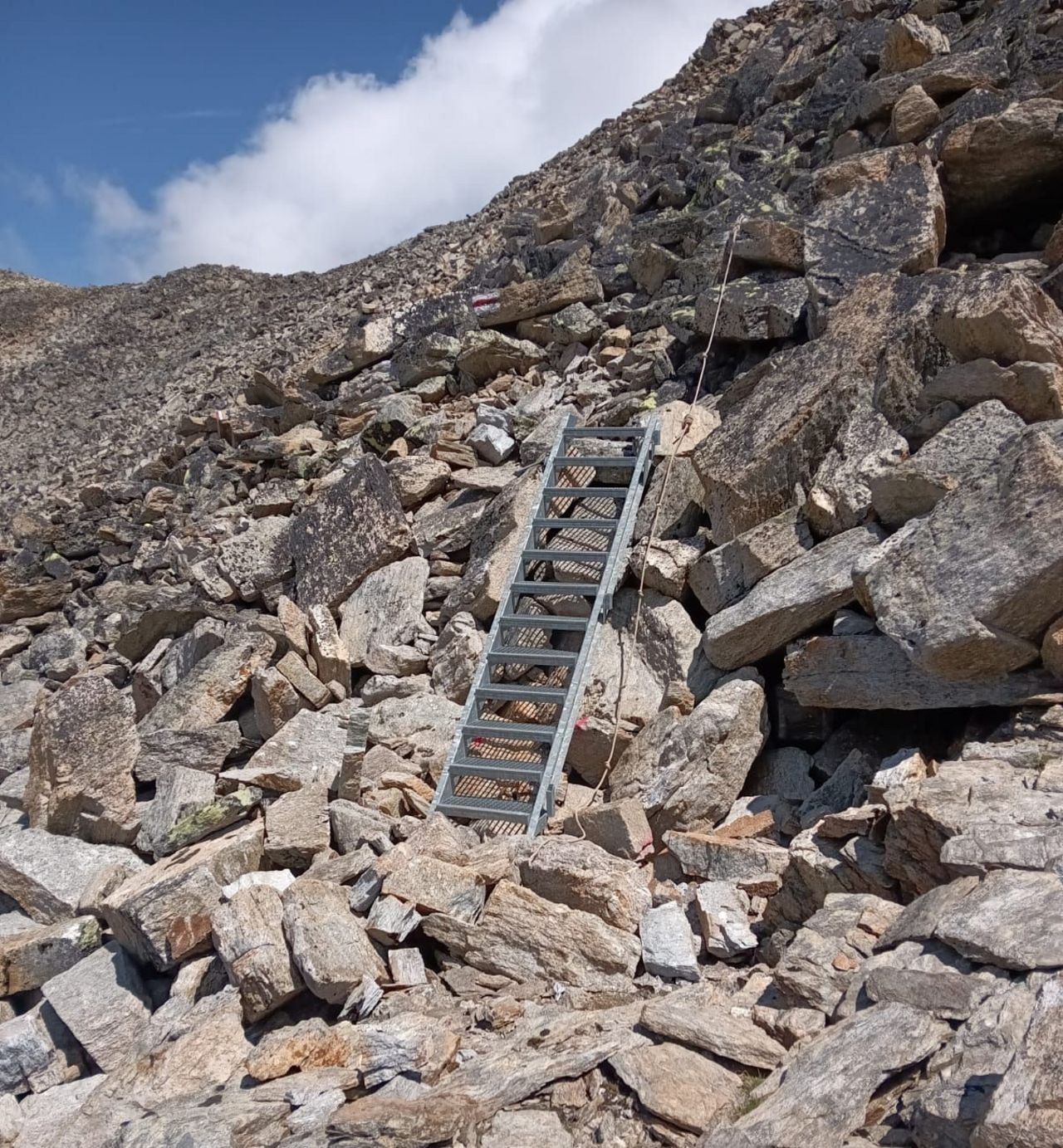
From the cabin follow the cairns and the faint path east-south-eastward to a depression. A signpost shows the way to Gross Bigerhorn. Ascend to the saddle P. 3148 between Klein Bigerhorn and Gross Bigerhorn. From the saddle follow the shoulder and the west-south-west ridge of Gross Bigerhorn to the summit, in the end ascending rather in the west face than on the ridge. The faint path may be interrupted. Some passages are on loose rubble and rocky steps.
Descent
Back to Bordierhütte on the ascent route, then down to the valley on the cabin trail
Alternative: Detour Klein Bigerhorn
From P. 3148 in a quarter of an hour to Klein Bigerhorn, marked white-blue-white.
Alternative discent to the valley
Since the old hut trail over the glacier is no longer maintained and the Europaweg is officially closed, this is an adventurous variant for experienced alpine hikers: From the cabin descend the glacier to P. 2706, then follow the path via Ritz to the saddle south of Mittelberg. On the other side of the saddle descend on the former so called Europaweg to Gasenried or Grächen. Add 1h30 min. to the normal cabin access trail.

Additional information

Departure point
End point

Gasenried, Post (1659 m)

Time

Bordierhütte SAC - Gross Bigerhorn 2½ h

Gross Bigerhorn - Bordierhütte SAC 1 h

Bordierhütte SAC - Grächen 2½ h

Difficulty / Material

There is a faint path almost up to the summit. Some passages on block terrain and scree are steep. Since 2024 marked white-red-white. For the variant: The crossing of the Riedgletscher was also marked white-blue-white in the past, but is no longer maintained. You may need an ice axe and crampons. It is best to enquire about the conditions at the Bordierhütte beforehand.

Waypoints

Gasenried, Post (1659 m)

Starting Point hut trail and variant.

Neighbor summit

Klein Bigerhorn (3182 m)

Alternative or additional summit.

Route last update

05/2019

Author

Fredy Joss

Sabine und Fredy Joss

Alpine hiking, climbing and other mountain sports Sabine and Fredy Joss's passion. They have been writing and photographing for the SAC publishing house and the club magazine Die Alpen for many years. Sabine is also a biologist and tour guide; Fredy a proofreader and editor for various magazines.

Our recommendations

SAC-Crocs

Equipment

SAC-Crocs

Price CHF 59.00
Member price CHF 49.00
Tourenportal/App-Abo Jahreszahlung

Subscription to the SAC Route Portal

Tourenportal/App-Abo Jahreszahlung

Price CHF 49.00
SAC-Hütten-Monopoly

At home

SAC-Hütten-Monopoly

Price CHF 69.90
Member price CHF 60.00
SAC-Taschenmesser

Equipment

SAC-Taschenmesser

Price CHF 57.00
Member price CHF 51.00
Bergsport Sommer

Ausbildung

Bergsport Sommer

Price CHF 59.00
Member price CHF 49.00
Ausbildung Bergwandern / Alpinwandern

Ausbildung

Ausbildung Bergwandern / Alpinwandern

Price CHF 59.00
Member price CHF 49.00
Die Wandertipps des Schweizer Alpen-Club SAC

Berg- und Alpinwandern

Die Wandertipps des Schweizer Alpen-Club SAC

Price CHF 59.00
Member price CHF 49.00
Les Alpes de la Romandie

Skitouren

New

Les Alpes de la Romandie

Price CHF 59.00
Member price CHF 49.00
feedback