From Lauenen through Tal des Geltenbaches (valley of the glacier streams) (Normal route) Geltenhütte SAC 2002 m
-
- Difficulty
- PD
-
- Ascent
- 3:30–4 h, 770 m
-
- Exposure
- N


Route description
Lauenen - Geltenhütte
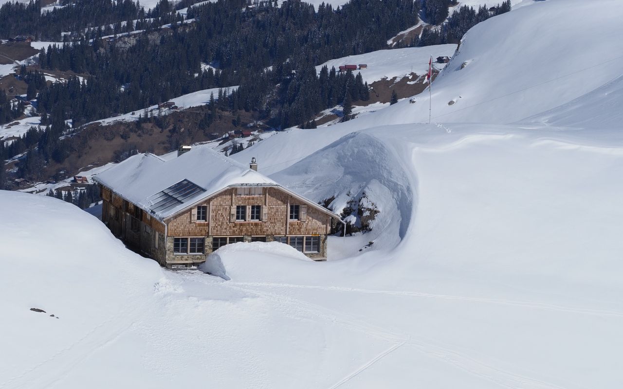
From Lauenen, follow the road into the valley (approx. 4 km) to Legerlibrügg (1380 m) east of the Lauenensee. If you want to avoid the main road, cross the Louibach at Rohrbrücke (1236 m) and follow the smaller road via Furbachsweideni and Höji to Lauenensee (1379 m) (a little longer; this variant is shown on the map). From the entrance to the valley of the Geltenbach at the bridge (P. 1385), follow the summer path through the forest to the bottom of the Undere Feisseberg. Cross the Geltenbach onto its western bank and continue into the valley, bearing right to Nüwe Berg to bypass the first rock band. A second rock band is overcome on a path hewn out of the rock (Geltenschuss) (often icy - crampons!). Drop down to the stream, cross to the east, then wind your way southwards to the Geltenhütte on its grassy knoll.
Additional information
- Remarks
-
Sections of rugged terrain up to the lower Feisseberg. Avalanche danger on the slopes of Nüwe Berg. The part of the route carved into the rock of the Geltenschuss is often icy and delicate; Crampons!
- Route number
-
9a

