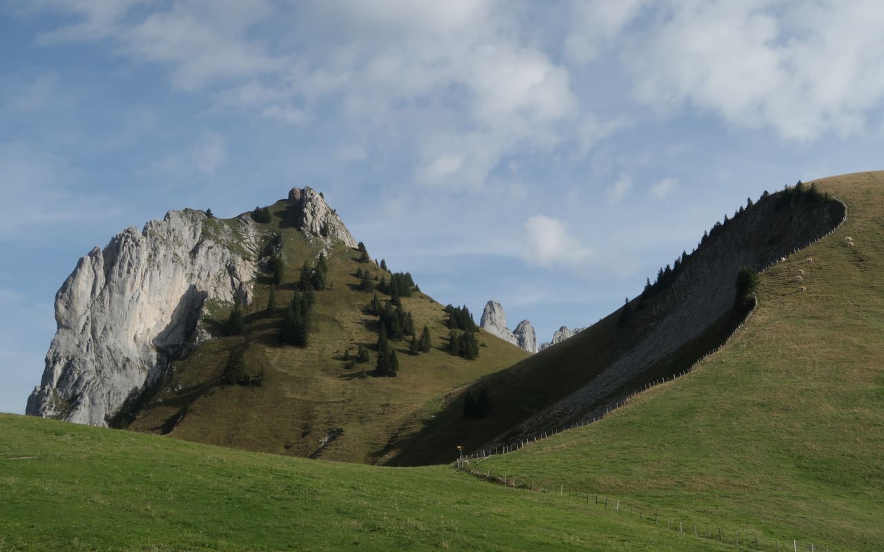
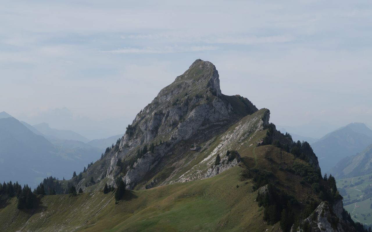
Corne Aubert – Dent de Combette – Rochers des Rayes Dent de Combette 2082 m
-
- Difficulty
- T4+
-
- Ascent
- 4:30 h, 1530 m
-
- Descent
- 2:45 h, 1530 m
Looking for accomodation
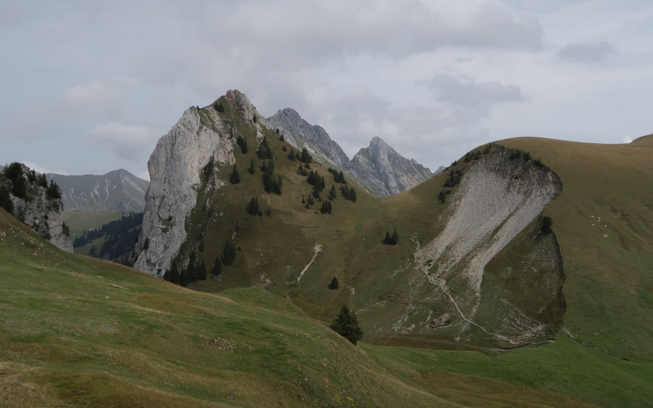
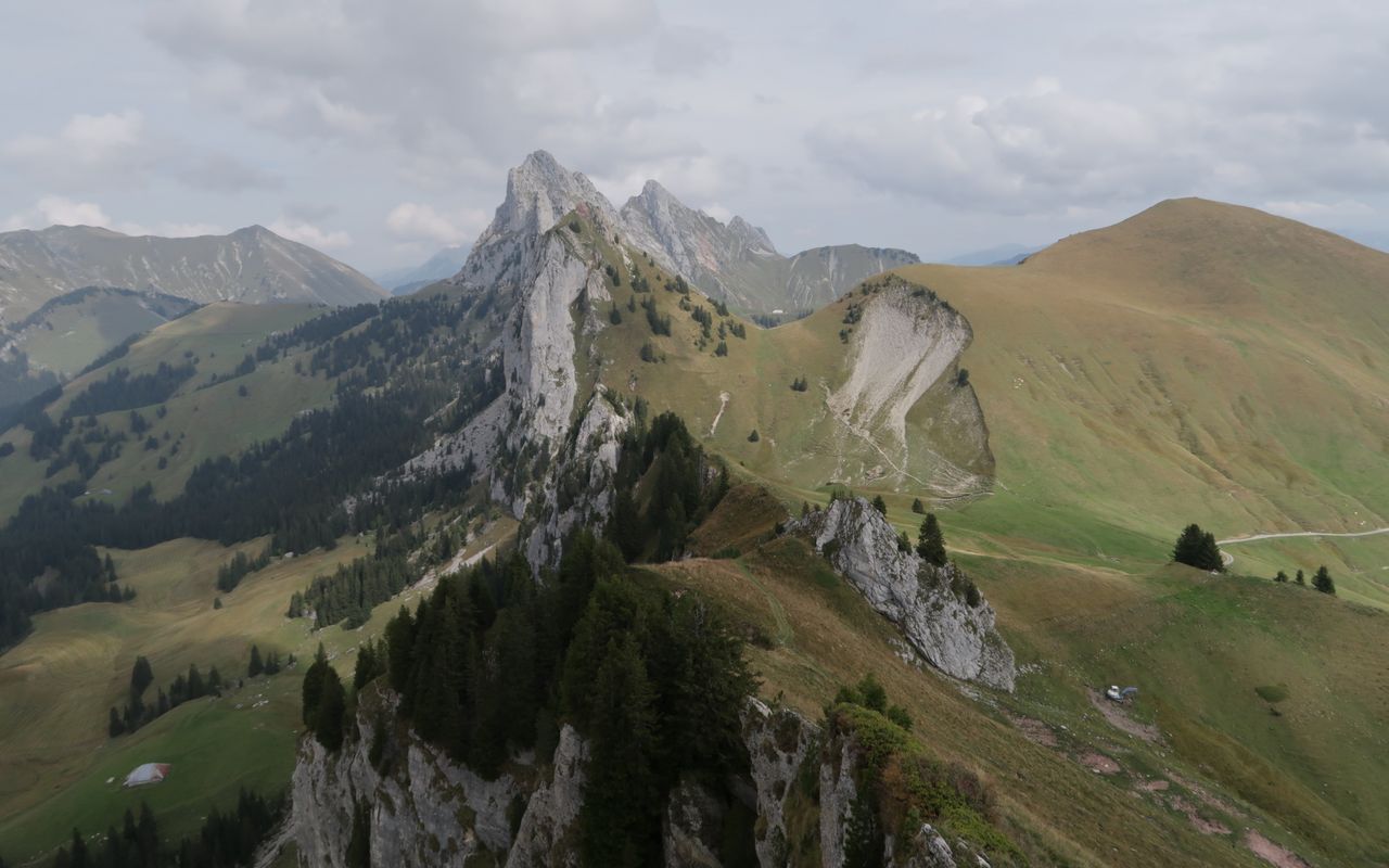
Dent de Combette and Rochers des Rayes stand at the south-west end of the Gastlosen chain. It is a shame that in the southern part of Gastlosen there is no accommodation available.




Route description
Additional information
- Time
-
Total hiking time: 7¼ h
Rougemont – Corne Aubert: 3½ h
Corne Aubert – Dent de Combette: 1¼ h
Dent de Combette – Rochers des Rayes: 30 min.
Rochers des Rayes – Rougemont: 2 h
- Difficulty / Material
-
Corne Aubert is T4+, and the trails to Dent de Combette and Rochers de Rayes are T3+. Some trails are unmarked, and Corne Aubert is pathless.
- Waypoints
-
Übergang zwischen Vallon du Gros Mont und Vallon de la Manche, zwischen Corne Aubert und Rodosex gelegen.
-
-
Kleine, in Kletterkreisen beliebte Erhebung zwischen Pucelles und Pertet à Bovets.
-
-
Westlichster Gipfel der Gastlosenkette.
-
-
Unnamed on the map, a target for winter tours
-
-
Startpunkt von Variante 2.
-
- Catering and overnight stay
-
The old Grubenberghütte (1840 m ü. M.) was used in alpine farming on Grubenberg, serving as the cheese dairy. In 1960 a new chalet was built, and was not used as a dairy. The Oldenhorn SAC section bought it and opened it as a club cabin in 1962. It accommodates hikers, ski tourists and snowshoe hikers and sleeps 32 (2 rooms with 16 sleeping berths each). It is always open and there is a warden on week-ends from May to October. More information at www.grubenberg.ch
-
-
Located in the Vallon des Morteys, it sleeps 50. Only soups and beverages are available. It is open and has a warden from the beginning of June through the beginning of October. SAC section La Gruyère, www.cas-gruyere.ch, for reservations call 079 790 45 33.
-
- Neighbor summit
-
The highest mountain at the southern end of Gastlosen is Haute Combe (2038 m), also called Labihubel. It is best accessible from the saddle at P. 1839 above Pertet à Bovets (1793 m) following the SW and the W ridge. The descent is on the entire W ridge down to Selle Aubert (P. 1897, unnamed on the map); T2.
-
-
Rodosex (P. 1920, unnamed on the map) is a prominent rocky tower in the south-west and above Pertet à Bovet. Leave the hiking trail which goes from Pertet à Bovets towards Dent de Combette at ca. 1860 m to ascend a slope to the narrow ridge interspersed with fir trees and rocks. Scrambling, follow the exposed ridge. The terrain gets wider as you approach the Rodosex summit (T5).
-


