From Gsteig on the NE face Dent Blanche / Gstellihore 2820 m
-
- Difficulty
- AD-
-
- Ascent
- 5:30 h, 1620 m
-
- Descent
- 1620 m
-
- Exposure
- N, NE, NW
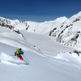
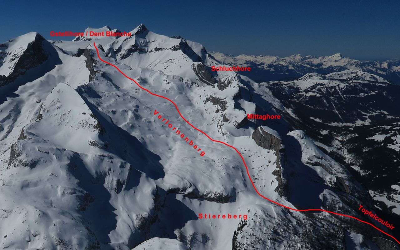
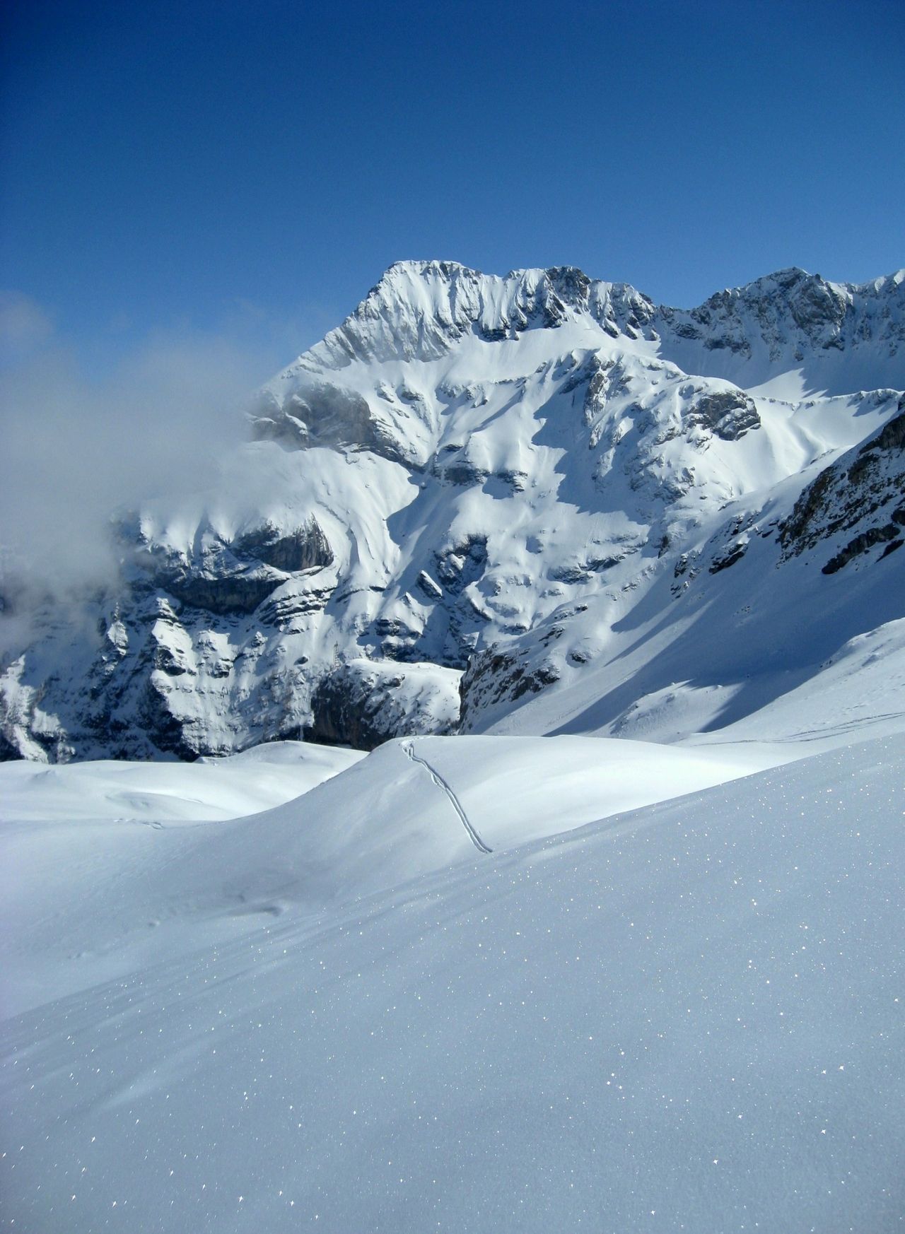
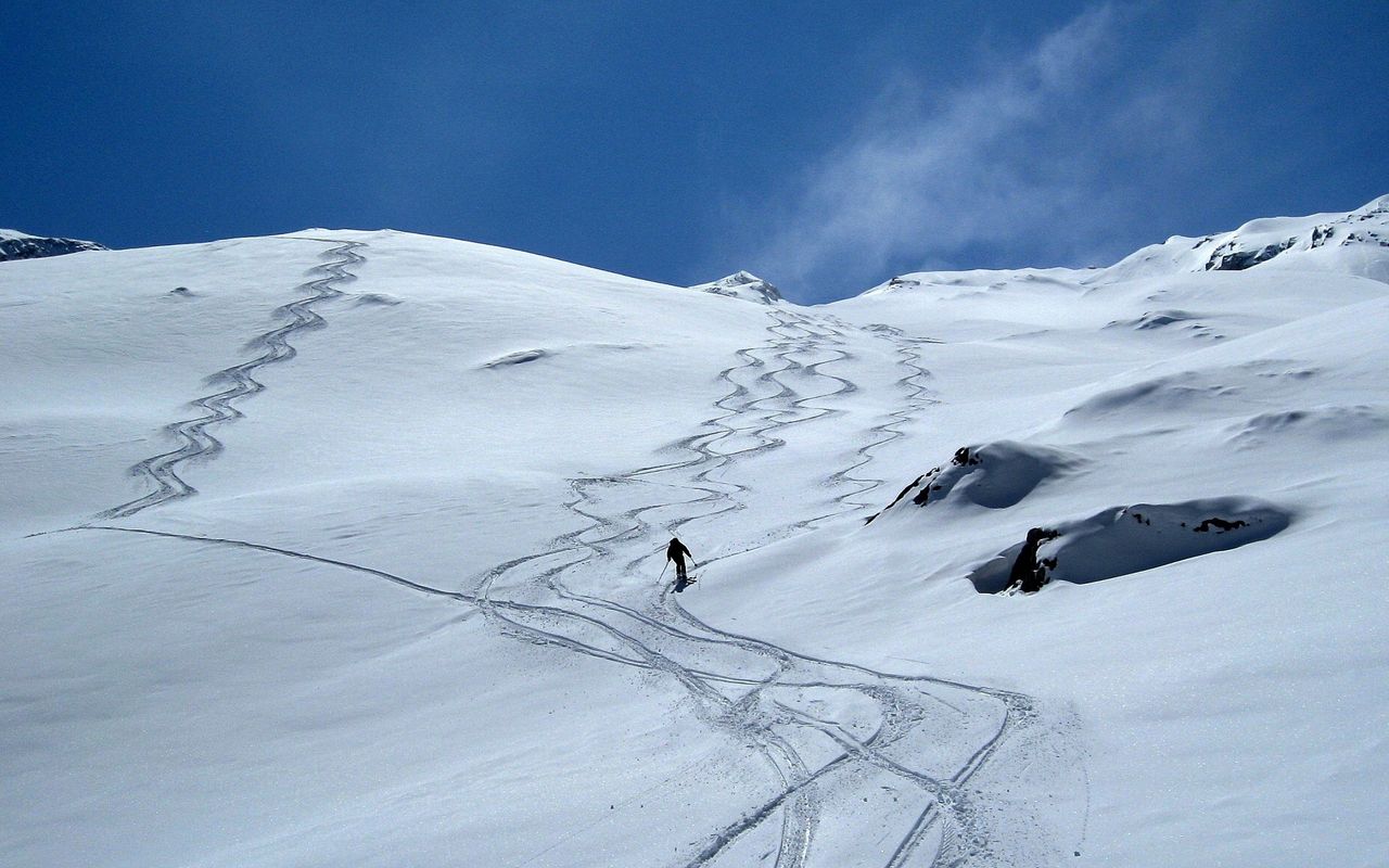
In powder snow the descent is a dream. The route described here is the only ski route to the summit and one of the classics of the region.





Route description
Gsteig – top of the ski lift
From Gsteig first follow the road to Col du Pillon until the first hairpin bend, where you leave the road. Now ascend the gentle slopes to the summit station of the Topfel ski lift (ca. 1350 m)
top of the ski lift – foot of the couloir
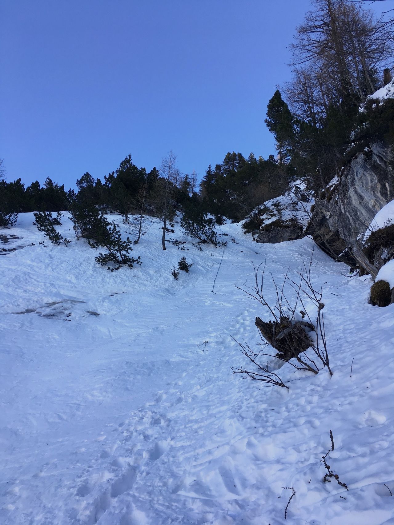
From the summit station of the Topfel ski lift (ca. 1350 m) follow a path through the forest up to Alp Topfel (1477 m). From the chalet ascend south-south-eastward to the foot of a steep, narrow couloir with rocky walls rising up on both sides (ca. 1600 m).
Couloir
Climb the couloir on foot as far as the forest. There are a number of helpful chains.
End of the couloir – Gstellihorn
Continue through the sparse forest with firs and larches to bypass the foot of the NE ridge of Mittaghore (ca. 2000 m). Now ascend south-westward, then south-south-westward on the wide slopes of Lapies di Bou (or Verlornenberg). The last stretch is on a slope which narrows the closer one gets to the summit. To the right and left steep rock faces rise from Sanetsch and the valley of the Oldebach.
Descent
On the ascent.
Additional information
- Crux
-
Although at a relatively low altitude, the Topfel couloir can be treacherous (avalanche risk, ice).
- Remarks
-
If there are tracks in the beautiful bowl of Stiereberg leading down to Brapire, do not follow them! They are from guides and their clients who have a special permit to use the intermediate station of the Sanetsch aerial cableway. Normally they are flown up to the summit by helicopter.
- Route number
-
624a

