From All'Acqua (Normal route) Cima di Lago (Bedretto) 2833 m
-
- Difficulty
- PD+
-
- Ascent
- 4:30 h, 1320 m
-
- Descent
- 1320 m
-
- Exposure
- N, NE, E, SE, S, SW, W, NW
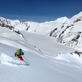
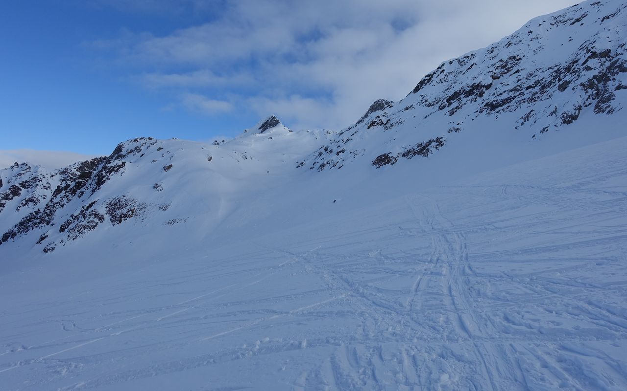
Ascending from All'Acqua in Val Bedretto to Cima di Lago, one passes various valleys and landscapes. Initially you ascend in Val Cavagnolo, a side valley of Val Bedretto, then you traverse the Ghiacciaio di Valleggia glacier. Finally, the tour ends in the upper Robièi basin. It is very satisfying to reach this summit.


Route description
From All'Acqua to Cima di Lago
From All'Acqua (1614 m) follow the road across Nufenenpass for a short while, then leave it to cross the Ticino river on a bridge. Continue south-eastward, initially in pastures, then through a steep forest under the cables of an army aerial cableway. Follow the summer trail past an army barrack, which is usually buried in the deep snow. Exit the sparse forest and cross a creek at ca. 1870 m close to a flat terrace to switch to the other side of Val Cavagnolo. Ascending gradually steeper ridges and taking advantage of valleys, you reach a wide plain at ca. 2180 m. Traverse the plain and ascend the next slope, which brings you to the third terrace at 2361 m. Now turn north-eastward to ascend a rib. On this rib you reach a steep slope. Ascend it to the breach at 2589 m. Be careful not to get too close to Poncione Cavagnolo (avalanche risk). From there descend 70 metres of vertical height to Ghiacciaio di Valleggia. Traverse the glacier eastward and ascend to Passo della Cima di Lago (2697 m). Immediately after the rocky offshoot turn right (SE) to ascend the steep slope (34°), which 150 m to the south-west of P. 2741 leads up to the ridge. Following the north-east ridge of Cima di Lago, you reach the foot of the summit slope. Ascend this steep slope to the highest point.
Descent
On the ascent (re-ascent of 70 m of vertical height to the saddle at 2589 m), alternatively you can ski down to Capanna Cristallina.
Additional information
- Crux
-
In Val Cavagnolo the slopes are steep. The terrain requires a careful assessment of the avalanche risk! The slope between Ghiacciaio di Valleggia and the ridge is also steep and treacherous with wind-driven snow.
- Remarks
-
There is a re-ascent of 70 m of vertical height to reach the saddle at 2589 m.
- Route number
-
522a

