From Promontogno / Bondo via Cugian - Trubinasca (new hut route) (Normal route) Capanna Sasc Furä CAS 1904 m
-
- Difficulty
- T4
-
- Ascent
- 5–6 h, 1380 m
-
- Descent
- 300 m
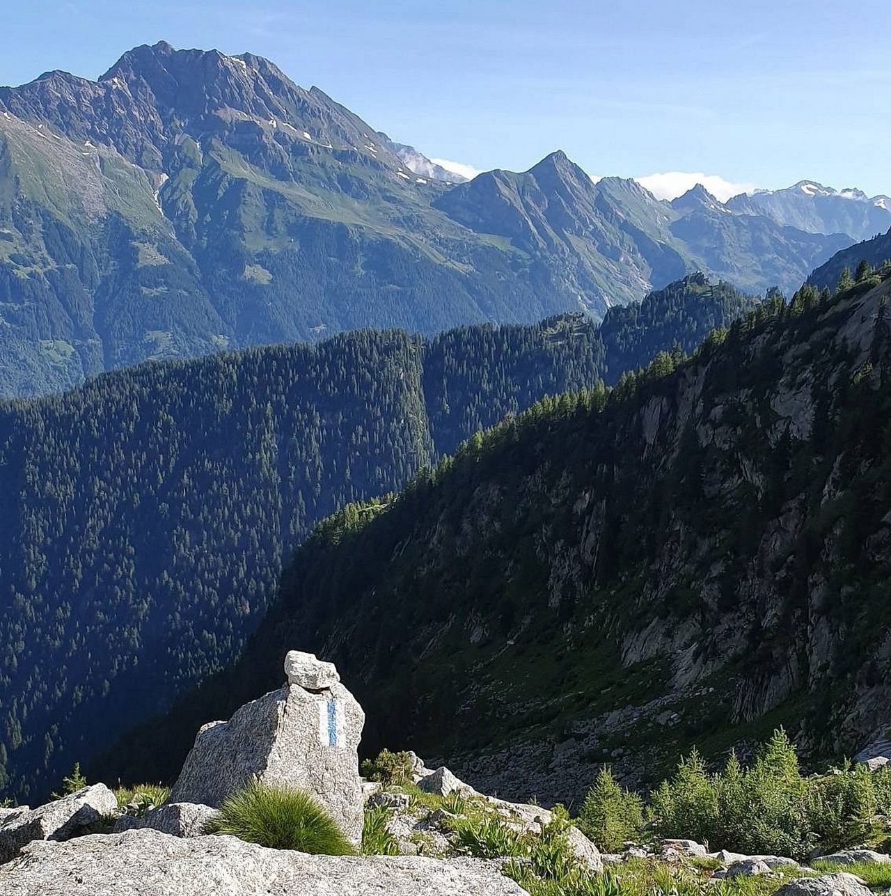
In early summer 2019, a new approach path to Capanna Sasc-Furä was opened because the old path via Val Bondasca was made inaccessible by the Cengalo landslide. The new trail is well-marked white-blue-white; it is longer and more demanding, but well secured where exposed. It follows old trails on the western side of the Val Trubinasca, where it meets the route leading from Trubinasca pass to the Sasc Furä hut. The entire length of the Val Bondasca was buried by a landslide on the Cengalo on August 23, 2017: the old hut ascent through the Val Bondasca is closed and no longer accessible!


Route description
Promotogno / Bondo - Cugian - Luvartigh
Follow the yellow signs from Promotogno to Bondo. Pass the church the follow the mountain road into the forest and up to Crott Alt (last possible parking), then zigzag to P. 908. From here turn left (E) and into Val Bondasca, shortly before where the bridge used to be (P. 1023) continue rightwards (S, then SW) and up through the forest to the clearing at Cugian P. 1317. Now its south-east up to Luvartigh P. 1553.
Luvartigh - Salecina - Trubinasca - Cap. Sasc Furä
Shortly after Luvartigh, the white-blue-white marked hut path begins, branching off to the left (SE) at ca. 1600 m. It leads across the exposed flank of Salencina into Val Trubinasca. In the Val Trubinasca basin, the path climbs to around 2130 m, where it meets the Passo della Trubinasca - Sasc Furä hut route. Follow the white-blue-white marked path east then round to teh north and descend to Capanna Sasc Furä.
Closed: old hut trail Val Bondasca - Cap. Sasc Furä
Since the Piz Cengalo landslide - CLOSED!


