From Dalpe (Normal route) Capanna Campo Tencia CAS 2140 m
-
- Difficulty
- T2
-
- Ascent
- 3 h, 970 m
-
- Descent
- 20 m
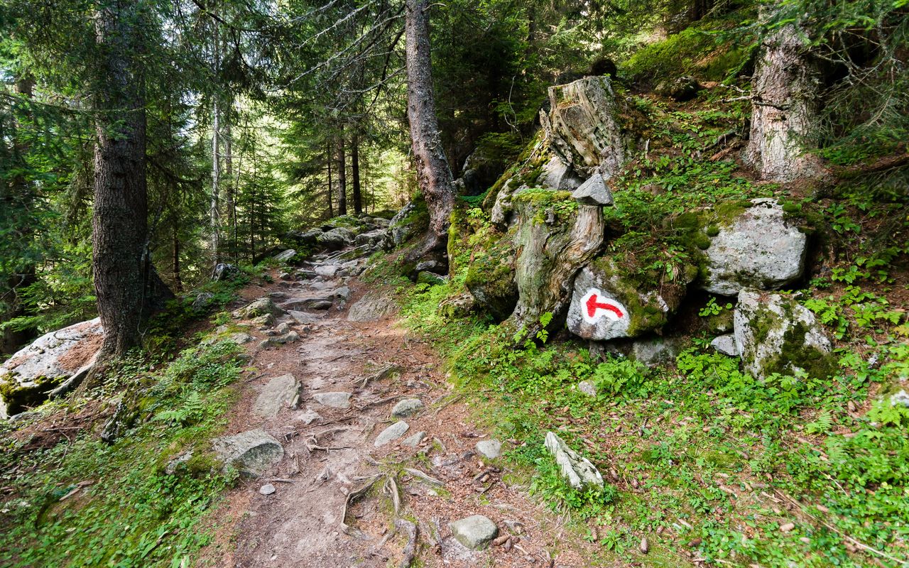
Spruce, larch and rhododendron.
The approach from Dalpe to Capanna Campo Tencia leads through a varied natural landscape, which is also a federal hunting ban area. The path passes through various stages of alpine farming, meanders through stretches of natural forest, and tracks though broad carpets of flowering rhododendron. In several places you can also cool your feet off in the streams. Later, if you want to take a proper bath, you can leave your backpack at the hut head to Lago di Morghirolo (just under 40 mins).


Route description
Dalpe – Capanna Campo Tencia
From the Dalpe / Villaggio bus stop (1192 m) head to the southwestern end of the village. The hut trail now leads through forest to P. 1365 (also reachable by car on the small mountain road), then through the clearing of Piumogna to the bridge at Sgnòi (P. 1650, nice resting spot beside the stream or in the meadow; start point for the variant: see below). A somewhat steeper slope now leads up south through rhodedendrum thickets to the meadows of Alpe di Croslina. From here its westwards over several streams and a small bridge to the hut, Capanna Campo Tencia.
Via Alpe Morghirolo (nature trail)
The "Sentiero didattico" (nature trail) via Alpe Morghirolo offers an interesting alternative for ascent or descent. In ascent: it branches off at Sgnòi and climbs northwest along the forest edge to Morghirolo, then climbs SW to a saddle (Pitela) and westward slightly along the ridge before dropping down into Piano di Lei. From there its south to the hut, with a short re-ascent. Approx. 45 mins longer than the normal route.


