Stage 9 "Via Alta Crio"From Capanna Scaletta – Capanna Bovarina on the «Sentiero degli stambecchi» Capanna Bovarina 1870 m
-
- Difficulty
- T4-
-
- Ascent
- 5:15 h, 860 m
-
- Descent
- 1200 m
The trail of the ibex
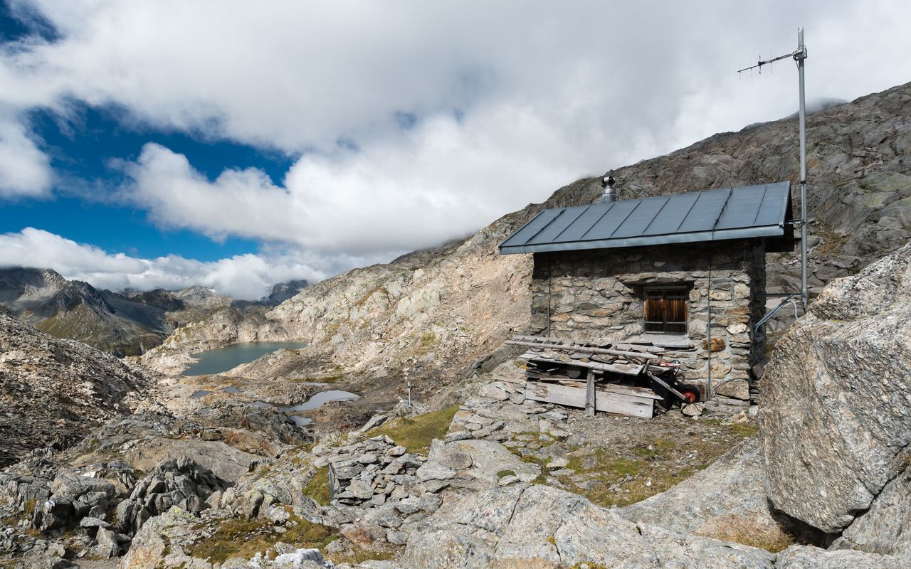
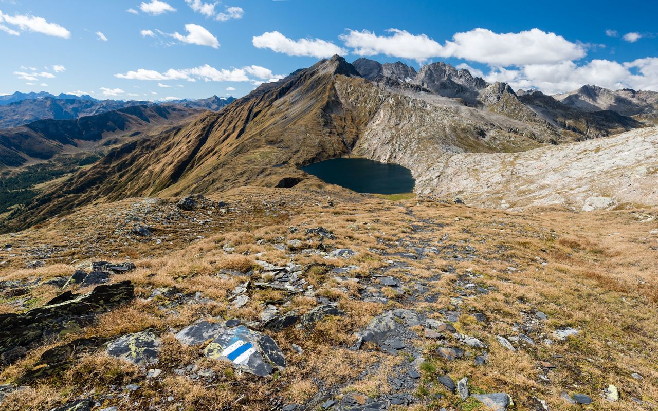
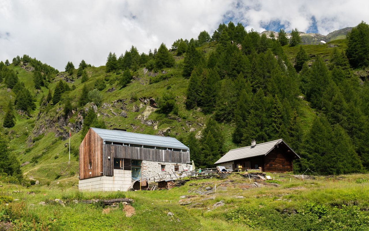
A trail with a splendid view brings us from Capanna Scaletta on the edge of the Greina high plain on rocky terrain to Lago Retico. This lake was once praised as the most beautiful mountain lake of The Grisons, whereas it is entirely in Ticino territory. The trail is also called the «Sentiero degli stambecchi» (The ibex trail) and you will very likely encounter a few of them. At the end the trail leads down to Capanna Bovarina on strange, geologically interesting terrain. Since 2023, the route forms the 9. stage of the "Via alta Crio".
Route description
Additional information
- Departure point
-
-
- End point
-
-
- Time
-
Capanna Scaletta – Pass d’Uffiern 2 h 30 min.
Pass d’Uffiern – Lago Retico 1 h 45 min.
Cima di Garina – Capanna Bovarina 1 h.
- Difficulty / Material
-
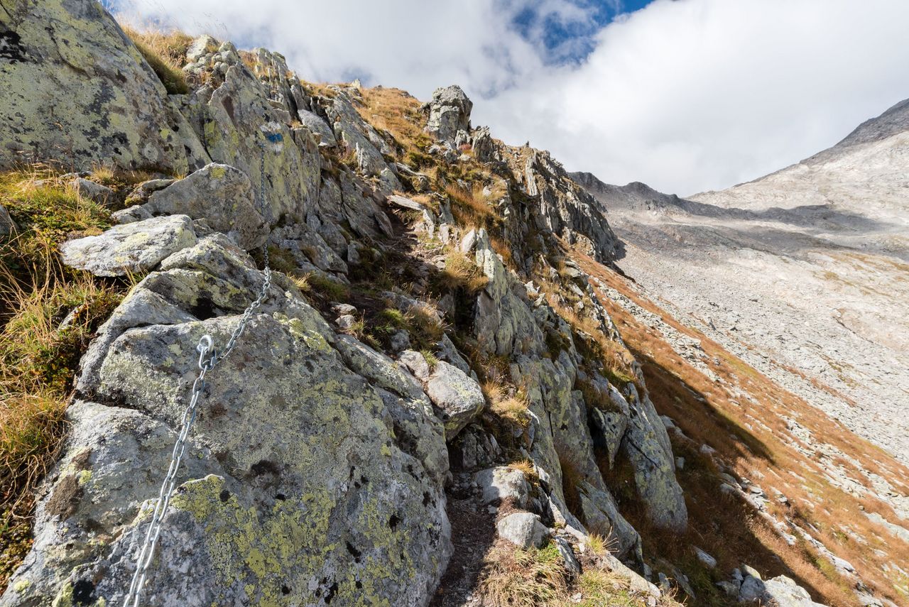
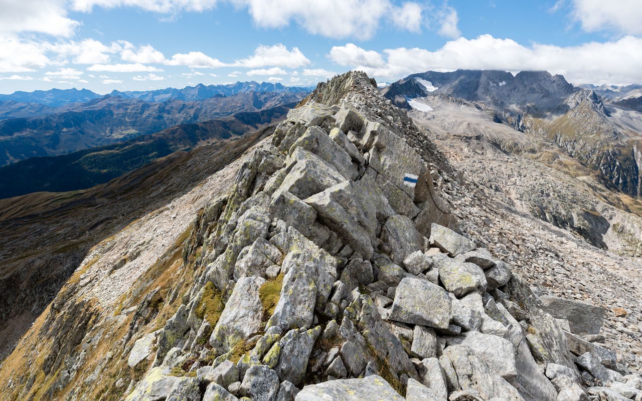
Some passages between Pian Geirett and Pass d'Uffiern are equipped with chains (the route has been adjusted in 2020). The stretch between Pass d’Uffiern and Sasso Lanzone leading through a lot of scree is pathless, but well marked; it requires caution. A steep passage on the descent is equipped with a fixed rope. Otherwise there are no technical difficulties to speak of.
- Waypoints
-
Pian Geirett (2003 m)
Bus stop of Autolinee Bleniesi.
-
-
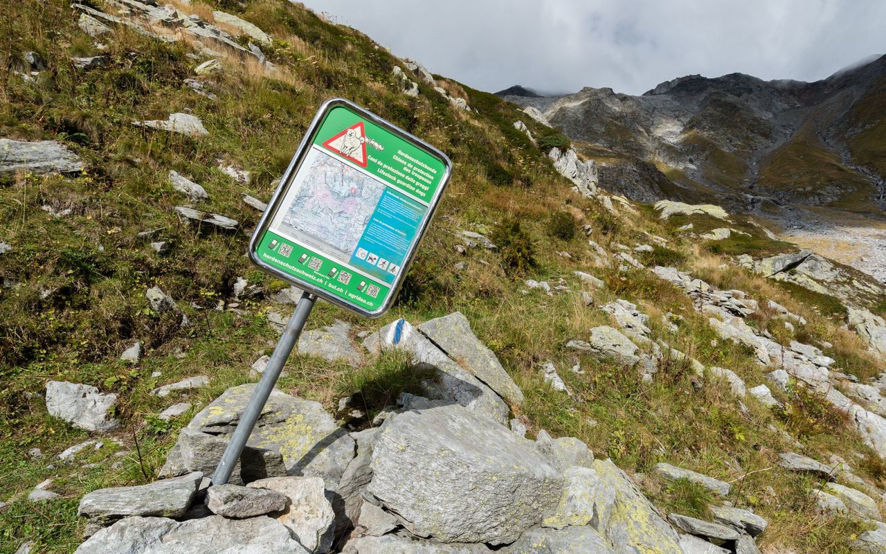
Passage from Val Camadra to Val d'Uffiern situated at the edge of the firing range «Val Cristallina» of the Swiss army.
-
-
Long, almost horizontal ridge, predominantly made of rubble and boulders.
-
- Various
-
Website Via Alta Crio with additional information
The Via Alta Crio is a challenging multi-day hike through secluded valleys and over untouched mountains, covering around 22,000 metres in altitude in 10 days over more than 100 kilometres.


