From Arolla (Normal route) Cabane des Vignettes CAS 3160 m
-
- Difficulty
- F
-
- Ascent
- 3:30 h, 1170 m
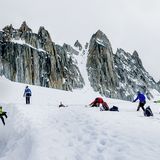
The approach from Arolla to the Cabane des Vignettes is an easy alpine tour over the Glacier de Pièce. The section over the galcier is often pisted, but still requires alpine equipment and appropriate knowledge.


Route description
Arolla - water intake
From Arolla bus stop (2006 m) follow the wide forest path in four hairpin bends up to the Kurhaus (2068 m). Immediately before this imposing building, take the foot path right into the very pretty, old Swiss stone pine forest. At the stream at approx. 2110 m, go left (S) staying below Alp Tsijiore Nouve and pass under two ski lifts to the footbridge at 2133 m and cross the stream (outlet of the Glacier de Tsijiore Nouve). Just below this footbridge is a water intake that can also be reached on another forest track from the valley floor (from just after P. 1985).
Water intake - Glacier de Pièce
Form the bridge above the water intake, join the vegetated east lateral moraine of the Glacier de Tsijiore Nouve (good example of the process of primary succession) and climb along this up to P. 2494. Head briefly eastwards from here, then south to some rocky terrain. Traverse initially to the shoulder at P.2571, then climb a straight forward rock step, secured with cables and iron rungs, to reach the stream of the Glacier de Pièce. Follow the glacier stream and onto the glacier tongue, first directly then moving left afer 2800 m to the glacier's eastern edge.
Glacier de Pièce - Cabane des Vignettes
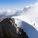
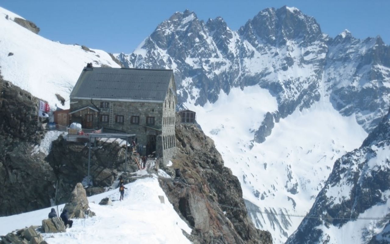
The real body of the Glacier de Piece is reached at about 2800 m, where it's best to move to the eastern bank. From 2900 m, head roughly towards the rocky spur leading down from P. 3163m then arc slowly round beneathe it in the direction of the Col des Vignettes. Either continue to the col, or cut-corner and climb the final steep section of firn to gain the ridge directly. Left (E) along the ridge to the Cabane des Vignettes (3160 m).
Variant: Arolla (P. 1986) - water intake
Mountain track. Also possible by bike.
Additional information
- Waypoints
-
Most people turn left shortly before the col to reach the hut more direct.
-
- Neighbor summit
-
Lookout point just a few minutes above its namesake hut.
-
