From the Handegg–Gerstenegg top station (Normal route) Bächlitalhütte SAC 2328 m
-
- Difficulty
- PD
-
- Ascent
- 2–2:30 h, 620 m
-
- Descent
- 60 m
-
- Exposure
- E, SE
Route description
Top station Handegg - Bächlitalhütte
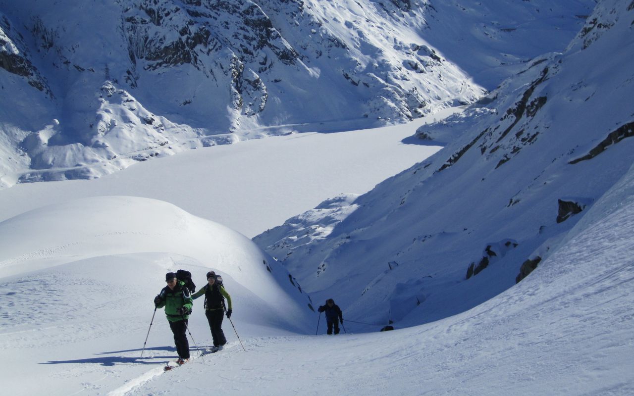
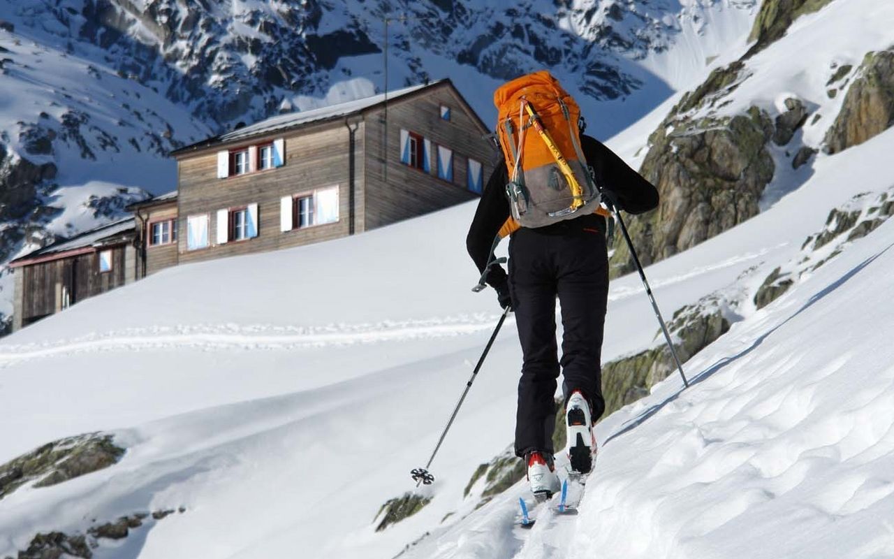
From the mountain station (approx. 1710 m) climb southwest to point 1771 at the Räterichsbodensee then follow the line of the summer path, first along the Bächlisbach, then along the ridge north of it. Bear rightwards above 1900 m to avoid some steep rocks, then cross back southwards towards the wide Bächlisboden at around 2110 m in the area of the summer path. Pass north of the Felsbuckel (2188 m) and along the northern edge of the alluvial plain, then through up the trough north of the rocky ridge up to the hut (2328 m).
Additional information
- Departure and arrival point
-
Gerstenegg, top station (1705 m)
Bus from Innertkirchen on request to the valley station of the KWO-Werkbahn Handegg - Gerstenegg / Guttannen, Breitwald www.grimselwelt.ch/skitouren
KWO: + 41 33 982 29 11; Bus: + 41 58 448 20 08; Grimseltaxi: + 41 33 973 12 09.
-
- Remarks
-
As soon as the Grimselpass road is open for private vehicles up to Räterichsbodensee, the Handegg-Gerstenegg cable car will run. You can also approach via the Undri Bächlilicken (pass); this is a long and quite demanding but very scenic way to reach the Bächlitalhütte.
- Route number
-
61
